William Penn Annex West in Philadelphia in Philadelphia County, Pennsylvania — The American Northeast (Mid-Atlantic)
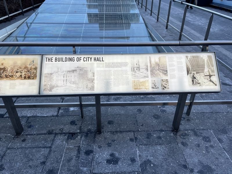
The Building of City Hall
When a popular referendum approved the move of City Hall to Centre Square in 1870, the decision shifted the city's focus to its geographical center, inspiring a new commercial office district along Broad Street and fulfilling William Penn's concept of a central square dedicated to public buildings.
The first City Hall was located at 2nd and Market Streets, where the original population was concentrated. At the time of the American Revolution, City Hall stood at 5th and Chestnut Streets within the Independence Hall complex, and Centre Square was still surrounded by undeveloped countryside.
As industry developed, the city expanded north, south, and west, accelerated by Philadelphia's prominent manufacturing role during the Civil War. In 1870, a proposal to move City Hall to Centre Square was approved by popular referendum after decades of debate.
Architect John McArthur, Jr. won a competition to design the building, which is among the tallest masonry buildings in the world without a steel frame. The architectural style is called French Second Empire, influenced by the Palais des Tuileries and the New Louvre in Paris. Construction began in 1871 and took more than 30 years to complete. During that time, new technologies like electricity and elevators had to be incorporated into the design.
The exterior of the building contains more than 250 relief and free-standing sculptures, representing the seasons and continents as well as allegorical figures, all created by Scottish-American sculptor Alexander Milne Calder. The bronze statue of William Penn atop the tower is 37 feet tall and made of 14 pieces.
The largest municipal building in America, City Hall is an expression of the optimism and wealth of the post-Civil War industrial era and a symbol of Philadelphia as a major manufacturing center. For nearly a century after its construction, a gentlemen's agreement ensured that no buildings would rise higher than the statue of Billy Penn at its peak–until the One Liberty Place skyscraper was built in 1897. But an observation deck in City Hall tower still affords extraordinary views of the surrounding city.
[Captions:]
1. Though City Hall appears from the outside to contain only three floors, there are actually eight floors in total, each about 16 feet high. Visible in the foreground are the brick row homes that surrounded City hall on the south side, the site of today's Ritz-Carlton Hotel.
2. The first floor of City Hall is built of solid granite. Designed before steel frame construction, its 22-foot-thick walls are engineered to carry the weight of the 548-foot tower above.
3. The new City Hall attracted commercial
4. The building of City Hall drew business west to Centre Square. Growth was reinforced by the building of the Pennsylvania Railroad's Broad Street Station, on the site of present-day Penn Center office buildings and Dilworth Park.
5. Alexander Milne Calder's 37-foot, 27-ton sculpture of William Penn was displayed in the courtyard for a year before being lifted to the top of City Hall in 1894.
6. Alexander Milne Calder created more than 250 sculptures for City Hall–a project that took 20 years to complete. A studio in the basement of the building served as his workshop.
7. A "Penn's-eye-view" shows the hand of William Penn gesturing to the northeast in the direction of Penn Treaty Park in Fishtown, where he is said to have signed a treaty with local Leni Lenape Native Americans in 1683. An observation deck in City Hall tower provides extraordinary views of Philadelphia.
Topics. This historical marker is listed in these topic lists: Architecture • Arts, Letters, Music • Government & Politics. A significant historical year for this entry is 1870.
Location. 39° 57.155′ N, 75° 9.887′ W. Marker is in Philadelphia, Pennsylvania, in Philadelphia County . It is in William Penn Annex West. Marker is at the intersection of North 15th Street (Pennsylvania Route 611) and Market Street (Pennsylvania Route 3), on the left when traveling south on North 15th Street. Touch for map. Marker is in this post office area: Philadelphia PA 19107, United States of America. Touch for directions.
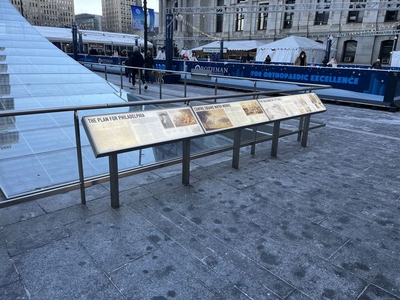
Other nearby markers. At least 8 other markers are within walking distance of this marker. Centre Square Water Works (here, next to this marker); The Plan for Philadelphia (here, next to this marker); 20th Century Transformation (here, next to this marker); Industry & the Railroad (here, next to this marker); Center City Renewal (here, next to this marker); Dilworth Park (within shouting distance of this marker); Philadelphia City Hall Gates (within shouting distance of this marker); In Commemoration of the Men of Irish Birth or Lineage (within shouting distance of this marker). Touch for a list and map of all markers in Philadelphia.
Credits. This page was last revised on February 2, 2023. It was originally submitted on February 9, 2022, by Devry Becker Jones of Washington, District of Columbia. This page has been viewed 116 times since then and 5 times this year. Photos: 1, 2. submitted on February 9, 2022, by Devry Becker Jones of Washington, District of Columbia.

