Webster Groves in St. Louis County, Missouri — The American Midwest (Upper Plains)
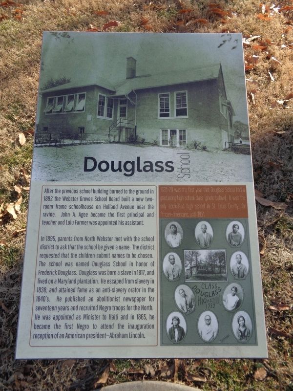
Douglass School
In 1895, parents from North Webster met with the school district to ask that the school be given a name. The district requested that the children submit names to be chosen. The school was named Douglass School in honor of Frederick Douglass. Douglass was born a slave in 1817, and lived on a Maryland plantation. He escaped from slavery in 1838, and attained fame as an anti-slavery orator in the 1840's. He published an abolitionist newspaper for seventeen years and recruited Negro troops for the North. He was appointed as Minister to Haiti and in 1865, he became the first Negro to attend the inauguration reception of an American president - Abraham Lincoln.
(sidebar:)
1928-29 was the first year that Douglass School had a graduating high school class. It was the only accredited high school in St. Louis County, for African-Americans, until 1951.
Topics. This historical marker is listed in these topic lists: African Americans • Education. A significant historical year for this entry is 1892.
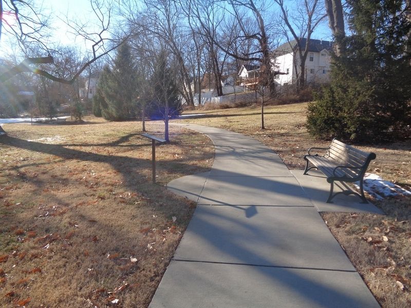
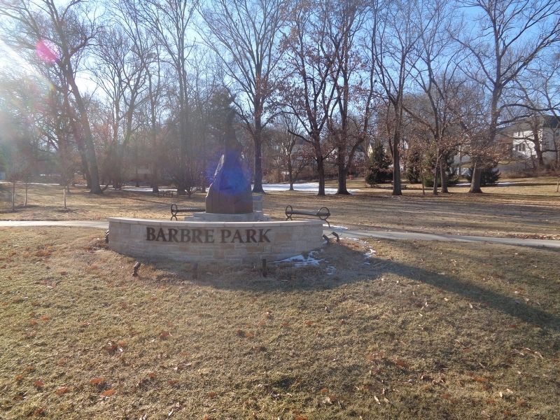
Location. 38° 35.954′ N, 90° 21.433′ W. Marker is in Webster Groves, Missouri, in St. Louis County. Marker can be reached from the intersection of North Elm Avenue and West Kirkham Avenue. Marker is located off a walking path at Barbre Park. Touch for map. Marker is at or near this postal address: 507 N Elm Ave, Saint Louis MO 63119, United States of America. Touch for directions.
Other nearby markers. At least 8 other markers are within 2 miles of this marker, measured as the crow flies. Clarence Barbre (within shouting distance of this marker); Historic Black Churches in Webster Groves (about 300 feet away, measured in a direct line); The Rock House/Edgewood Children's Center (approx. ¼ mile away); Webster Groves War Memorial (approx. half a mile away); Stories That Shape Our Culture (approx. 0.6 miles away); Original site of Rock Hill Presbyterian Church (approx. 0.8 miles away); Fairfax House (approx. 0.9 miles away); Spanish Land Grant (approx. 1.1 miles away). Touch for a list and map of all markers in Webster Groves.
Also see . . . Douglass High School on Wikipedia. (Submitted on February 11, 2022, by Jason Voigt of Glen Carbon, Illinois.)
Credits. This page was last revised on February 11, 2022. It was originally submitted on February 10, 2022, by Jason Voigt of Glen Carbon, Illinois. This page has been viewed 372 times since then and 80 times this year. Photos: 1, 2, 3. submitted on February 10, 2022, by Jason Voigt of Glen Carbon, Illinois.


