Webster Groves in St. Louis County, Missouri — The American Midwest (Upper Plains)
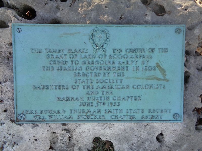
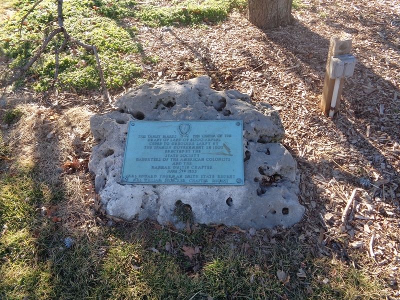
Spanish Land Grant
Erected 1933 by State Society Daughters of the American Colonists and the Hannah Dustin chapter.
Topics and series. This historical marker is listed in this topic list: Notable Places. In addition, it is included in the Daughters of the American Colonists series list.
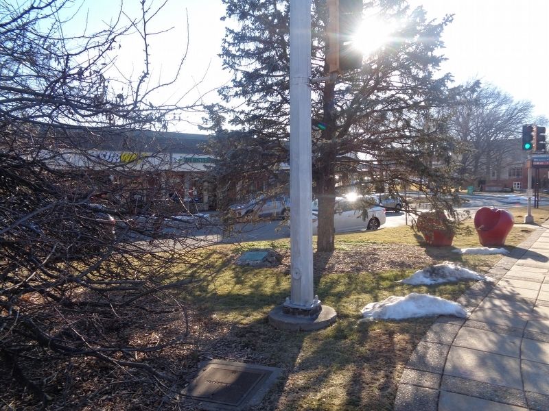
Location. 38° 35.461′ N, 90° 20.364′ W. Marker is in Webster Groves, Missouri, in St. Louis County. Marker is at the intersection of Big Bend Boulevard and East Lockwood Avenue, on the right when traveling north on Big Bend Boulevard. Marker is located at Gazebo Park. Touch for map. Marker is at or near this postal address: 8180 Big Bend Blvd, Saint Louis MO 63119, United States of America. Touch for directions.
Other nearby markers. At least 8 other markers are within 2 miles of this marker, measured as the crow flies. Veterans Memorial (approx. ¾ mile away); Webster Groves War Memorial (approx. 0.9 miles away); a different marker also named Veterans Memorial (approx. one mile away); Historic Shrewsbury, Missouri (approx. 1.1 miles away); Douglass School (approx. 1.1 miles away); Historic Black Churches in Webster Groves (approx. 1.1 miles away); Clarence Barbre (approx. 1.1 miles away); Stories That Shape Our Culture (approx. 1.2 miles away). Touch for a list and map of all markers in Webster Groves.
Credits. This page was last revised on February 11, 2022. It was originally submitted on February 11, 2022, by Jason Voigt of Glen Carbon, Illinois. This page has been viewed 237 times since then and 83 times this year. Photos: 1, 2, 3. submitted on February 11, 2022, by Jason Voigt of Glen Carbon, Illinois.


