Rittenhouse Square in Philadelphia in Philadelphia County, Pennsylvania — The American Northeast (Mid-Atlantic)
22nd & Walnut
On this block in 1933
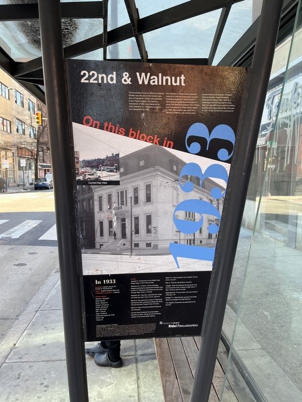
The southeast corner of 22nd and Walnut Streets was the site of the marble mansion of George W. Childs, the publisher of the Public Ledger. The mansion, completed in 1869, was designed by John McArthur Jr., the same architect who designed City Hall.
The mansion's historic past included visits by numerous prestigious guests. President Ulysses S. Grant visited in 1876 during the Centennial Exhibition along with Brazilian emperor Dom Pedro II and his empress. After Child's death in 1894, the mansion was used for a dancing academy, a swimming club, a radio station and a series of restaurants and clubs. It was ultimately destroyed on March 15th, 1970 by a three-alarm fire that burned for more than two and half hours and the building remains were demolished later that year. In 1971, it was turned into a parking lot.
In 1933
President: Herbert Hoover (R), Franklin D. Roosevelt
Mayor: Joseph Hampton Moore (R)
Philadelphia population: 1,950,961
Money matters
Gasoline: 18¢/gallon
Bread: 8¢/loaf
Butter: 29¢/pound
Cheese: 27¢/pound
Coffee: 26¢/pound
Eggs: 35¢/dozen
Milk: 11¢/quart
Sugar: 5¢/pound
Underwood typewriter:
this page online
Haircut: 20¢
Trolley: 5¢
Events
January 5—Construction of the Golden Gate Bridge began in San Francisco Bay.
February 15—In Miami, Florida, Giuseppe Zangara attempted to assassinate President-elect Franklin D. Roosevelt, but instead shot and killed Chicago Mayor Anton J. Cermak.
February 18—Yoko Ono, Japanese-born singer and artist and wife of John Lennon, was born.
March 2—The original film version of King Kong, starring Fay Wray, premiered at Radio City Music Hall and the Roxy Theater in New York City.
March 2—Mount Rushmore National Memorial was dedicated.
Frances Perkins became the United States Secretary of Labor, making her the first female member of the United States Cabinet.
March 14—Music producer and composer, Quincy Jones, was born.
May 3—Musician James Brown was born.
July 22—Wiley Post became the first person to fly solo around the world, traveling 15,595 miles in 7 days, 18 hours, and 45 minutes.
September 26—The ice cream cone was invented in Brooklyn, NY.
October 17—Albert Einstein arrived in the United States as a refugee from Nazi Germany.
The magazine Newsweek was published
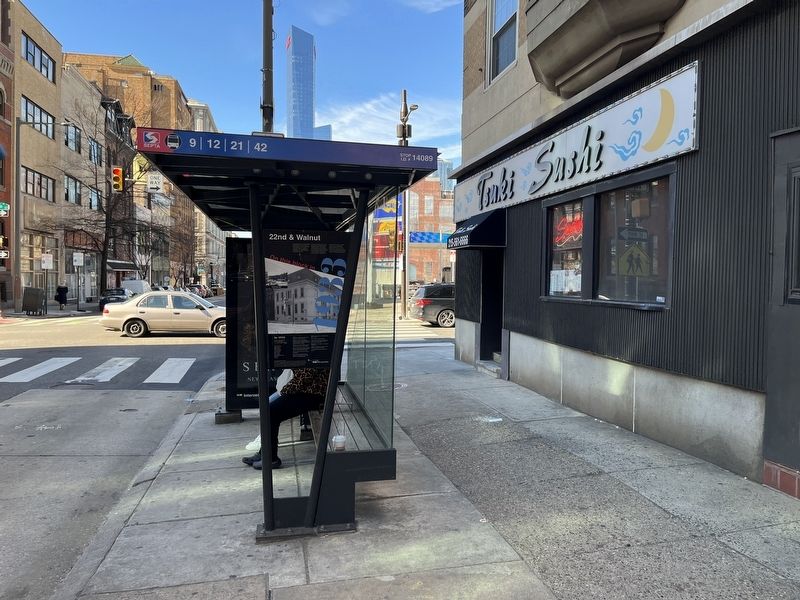
Erected 2017 by Center City District, Philadelphia.
Topics and series. This historical marker is listed in these topic lists: Architecture • Settlements & Settlers. In addition, it is included in the Former U.S. Presidents: #18 Ulysses S. Grant, the Former U.S. Presidents: #32 Franklin D. Roosevelt, and the Pennsylvania, Ride! Philadelphia series lists. A significant historical date for this entry is January 5, 1869.
Location. 39° 57.06′ N, 75° 10.629′ W. Marker is in Philadelphia, Pennsylvania, in Philadelphia County. It is in Rittenhouse Square. It is at the intersection of Walnut Street and South 22nd Street, on the right when traveling west on Walnut Street. Touch for map. Marker is at or near this postal address: 215 S 22nd St, Philadelphia PA 19103, United States of America. Touch for directions.

Regionally, this marker is in Southeast Pennsylvania. It is also in the American Northeast and in the Mid-Atlantic. Globally, it is in North America, the Western Hemisphere, the Western World, and the Anglosphere. Historically, it finds itself in what was once the Haudenosaunee (Iroquois) Confederacy, New Netherland, and one of the original Thirteen Colonies.
Other nearby markers. At least 8 other markers are within walking distance of this marker: In 1870, St. James Episcopal Church filled this corner. (within shouting distance of this marker); On this block in 1940 (about 500 feet away, measured in a direct line); Barbara Gittings (about 600 feet away); First Unitarian Church of Philadelphia (UU) (about 600 feet away); Historic Site in Journalism (about 700 feet away); Medical Aloe (about 800 feet away); Benjamin Rush Medicinal Plant Garden (about 800 feet away); a different marker also named Benjamin Rush Medicinal Plant Garden (about 800 feet away). Touch for a list and map of all markers in Philadelphia.
Credits. This page was last revised on February 2, 2024. It was originally submitted on February 11, 2022, by Devry Becker Jones of Washington, District of Columbia. This page has been viewed 710 times since then and 78 times this year. Photos: 1, 2. submitted on February 11, 2022, by Devry Becker Jones of Washington, District of Columbia.
