Bozeman in Gallatin County, Montana — The American West (Mountains)
Tivoli Beer Hall
Bozeman Main Street Historical District
Photographed by Barry Swackhamer, July 25, 2021
1. Tivoli Beer Hall Marker
Inscription.
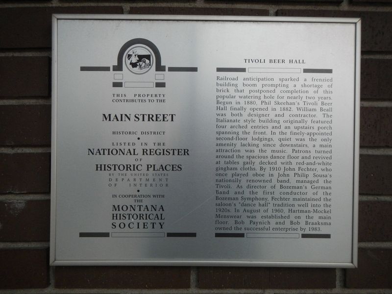
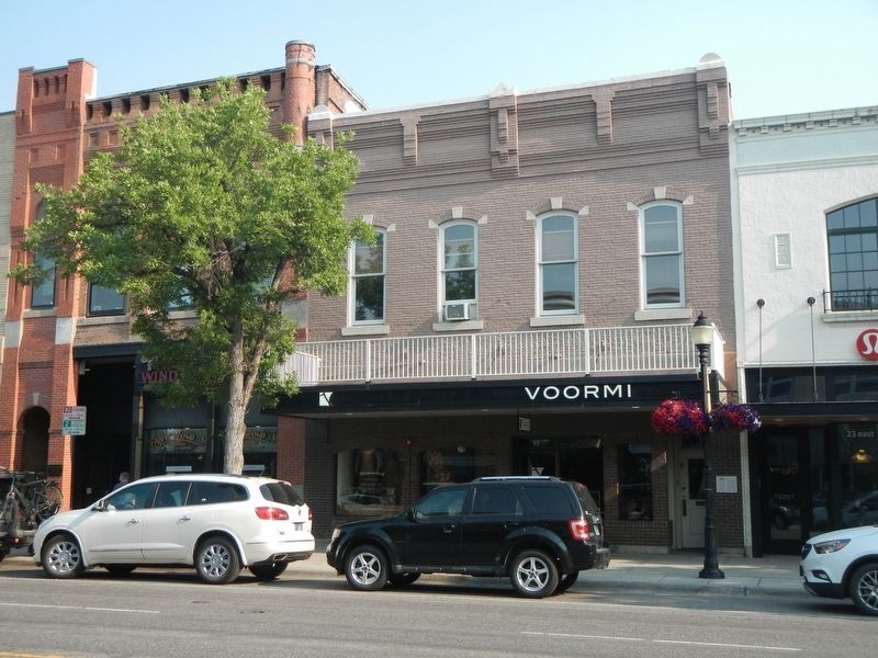
Railroad anticipation sparked a frenzied building boom prompting a shortage of brick that postponed completion of this popular watering hole for nearly two years. Begun in 1880, Phil Skeehan’s Tivoli Beer Hall finally opened in 1882. William Beall was both designer and contractor. The Italianate style building originally featured four arched entries and an upstairs porch spanning the front. In the finely appointed second-floor lodgings, quiet was the only amenity lacking, since downstairs a main attraction was the music. Patrons turned around the spacious dance floor and revived at tables gaily decked with red-and-white gingham cloths. By 1910, John Fechter, who once played oboe in John Philip Sousa’s nationally renowned band, managed the Tivoli. As director of Bozeman’s German Band and the first conductor of the Bozeman Symphony, Fechter maintained the saloon’s “dance hall” tradition well into the 1920s. In August of 1960, Hartman-Mockel Menswear was established on the main floor. Bob Paynich and Bob Braaksma owned the successful enterprise by 1983.
Location. 45° 40.764′ N, 111° 2.194′ W. Marker is in Bozeman, Montana, in Gallatin County. It is on East Main Street near North Taylor Avenue, on the right when traveling west. Touch for map. Marker is at or near this postal address: 17 East Main Street, Bozeman MT 59715, United States of America. Touch for directions.
Regionally, this marker is in Montana’s Yellowstone Country. It is also in the American Mountain West and in the Lewis & Clark Corridor. Globally, it is in North America, the Rocky Mountains, the Western Hemisphere, the Western World, and the Anglosphere. Historically, it finds itself in what was once Rupert’s Land and also the Louisiana Purchase.
Credits. This page was last revised on November 12, 2024. It was originally submitted on February 14, 2022, by Barry Swackhamer of Brentwood, California. This page has been viewed 387 times since then and 23 times this year. Photos:1, 2. submitted on February 14, 2022, by Barry Swackhamer of Brentwood, California.