Downtown in Sioux Falls in Minnehaha County, South Dakota — The American Midwest (Upper Plains)
Fort Sod
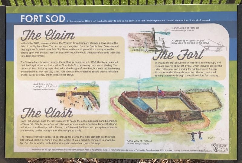
The Claim
In the fall of 1856, speculators from the Western Town Company claimed a town site at the Falls of the Big Sioux River. The next spring, men joined from the Dakota Land Company and they together founded Sioux Falls City. These settlers anticipated that a treaty would be agreed upon with the local Yankton Sioux Indians, who would then peacefully cede their land to federal government.
The Sioux Indians, however, viewed the settlers as trespassers. In 1858, the Sioux defended their land against settlers just north of Sioux Falls City, destroying the town of Medary. The settlers of Sioux Falls City were alarmed at the thought of a conflict, but were resolved to stay and defend the Sioux Falls City claim. Fort Sod was thus erected to secure their fortification and for easier defense, and the battle lines drawn.
The Clash
Once Fort Sod was built, the site was ready to house the entire population and belongings of Sioux Falls City. Rebecca Goodwin, the lone woman, made a flag from flannel shirts and a skirt, and they flew it proudly. She and the 35 male inhabitants set up a system of sentries and scouting parties to prepare for the anticipated battle.
The Indians eventually appeared at Fort Sod for a tense three day standoff, but they then left without conflict or firing a shot. The settlers of Sioux Falls City remained in or nearby Fort Sod for six weeks, until additional supplies arrived and broke the siege.
The Fort
The walls of Fort Sod were four feet thick, ten feet high, and enclosed an area about 80' by 80', which included an existing cabin, cattle pen, and a spring for drinking water. A deep ditch surrounded the walls to protect the fort, and small openings were cut through the walls to allow for shooting.
Captions:
Aerial view of the courtyard of Fort Sod
Siouxland Heritage Museums
Construction of Fort Sod
Siouxland Heritage Museums
A 'breaking' or 'grasshopper' plow used to cut sod in the 1800s
Aerial view of Fort Sod
Siouxland Heritage Museums
Information on this sign documented in a letter from James M. Allen to his father on June 17, 1858. Watercolor drawings of Fort Sod by Dave Rambow, 2006. Both are courtesy of the Siouxland Heritage Museums.
Erected by Siouxland Heritage Museums and Confluence, Inc.
Topics. This historical marker is listed in this topic list: Forts and Castles. A significant historical year for this entry is 1858.
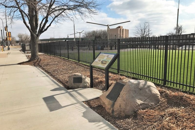
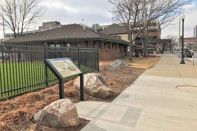
Location. 43° 32.753′ N, 96° 43.471′ W. Marker is in Sioux Falls, South Dakota, in Minnehaha County. It is in Downtown. Marker is on East 10th Street (State Highway 42) west of South Second Avenue, on the left when traveling west. Located at Kirby Dog Park in Sioux Falls. Touch for map. Marker is at or near this postal address: 201 S 2nd Ave, Sioux Falls SD 57104, United States of America. Touch for directions.
Other nearby markers. At least 8 other markers are within walking distance of this marker. Site of Fort Sod (here, next to this marker); The Gaslight Era (about 300 feet away, measured in a direct line); Yesterday (about 300 feet away); Incident at Fort Sod (about 400 feet away); Thomas L. Fawick (about 400 feet away); a different marker also named Fort Sod (about 500 feet away); First Industrial Park (about 500 feet away); Historic River Crossing (about 500 feet away). Touch for a list and map of all markers in Sioux Falls.
Related markers. Click here for a list of markers that are related to this marker.
Credits. This page was last revised on February 16, 2023. It was originally submitted on February 14, 2022. This page has been viewed 242 times since then and 41 times this year. Photos: 1, 2, 3, 4. submitted on February 14, 2022.


