Surry in Surry County, Virginia — The American South (Mid-Atlantic)
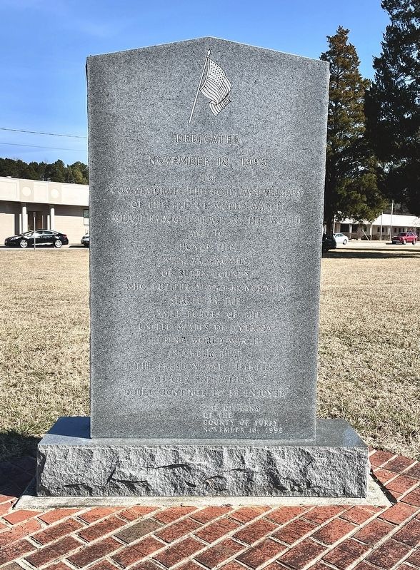
Surry County WWII Veterans Memorial
November 18, 1995
to commemorate the 50th anniversary
of the end of World War II
which brought peace to the world
and to
honor the
Men and Women
of Surry County
who dutifully and honorably
served in the
Armed Forces of the
United States of America
during World War II
in order that
the freedom and liberties
of our Forefathers
could continue to be enjoyed
County of Surry
November 18, 1995
Erected 1995 by Citizens of Surry County.
Topics. This memorial is listed in this topic list: War, World II.
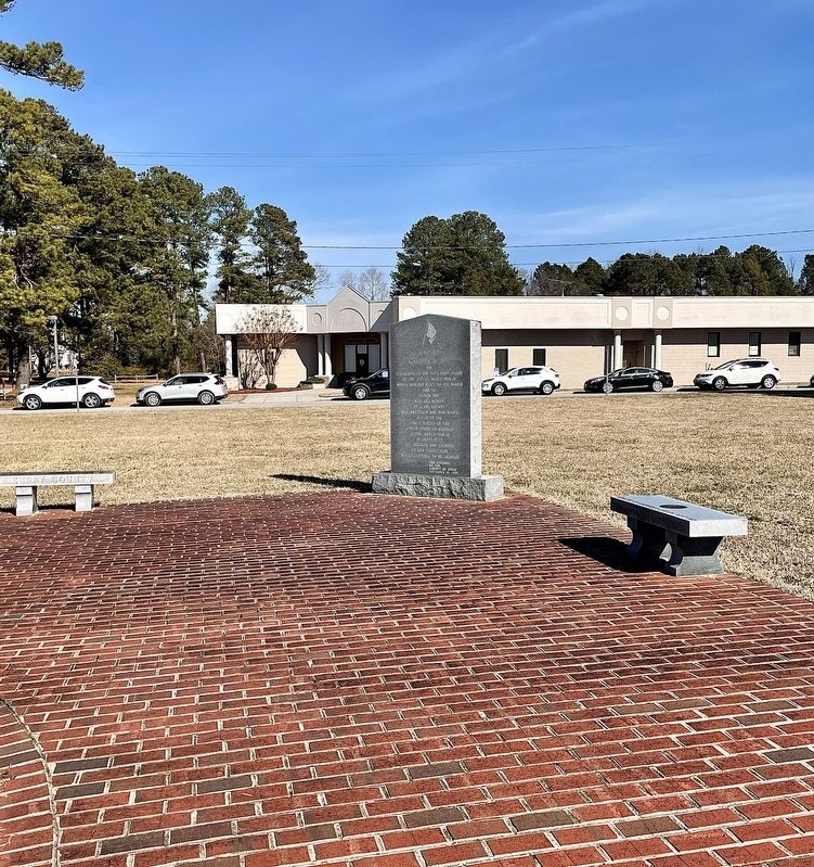
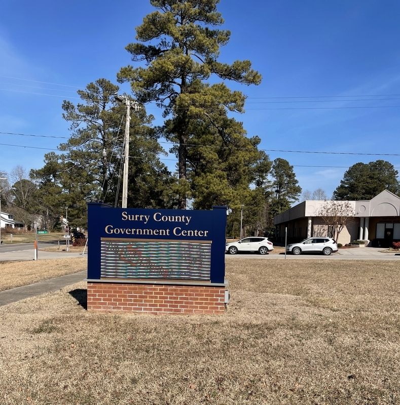
Location. 37° 8.02′ N, 76° 50.131′ W. Marker is in Surry, Virginia, in Surry County. Memorial is at the intersection of Rolfe Highway (Virginia Route 10/31) and School Street, on the right when traveling north on Rolfe Highway. Located on the grounds of the Surry County Government Center. Touch for map. Marker is in this post office area: Surry VA 23883, United States of America. Touch for directions.
Other nearby markers. At least 8 other markers are within 2 miles of this marker, measured as the crow flies. Smith’s Fort Plantation (approx. 0.2 miles away); Capt. Jacob Faulcon, C.S.A. (approx. 0.3 miles away); Chanco (approx. 0.3 miles away); Surry County Confederate Monument (approx. 0.3 miles away); Surry County War Memorial (approx. 0.3 miles away); Organization of the Christian Church (approx. 0.8 miles away); Pleasant Point (approx. 1.6 miles away); Chippokes Plantation (approx. 1.7 miles away). Touch for a list and map of all markers in Surry.
Credits. This page was last revised on February 22, 2022. It was originally submitted on February 20, 2022, by Brandon D Cross of Flagler Beach, Florida. This page has been viewed 122 times since then and 18 times this year. Photos: 1, 2, 3. submitted on February 20, 2022, by Brandon D Cross of Flagler Beach, Florida. • Bernard Fisher was the editor who published this page.


