Sharp-Leadenhall in Baltimore, Maryland — The American Northeast (Mid-Atlantic)
Gwynns Falls Trail
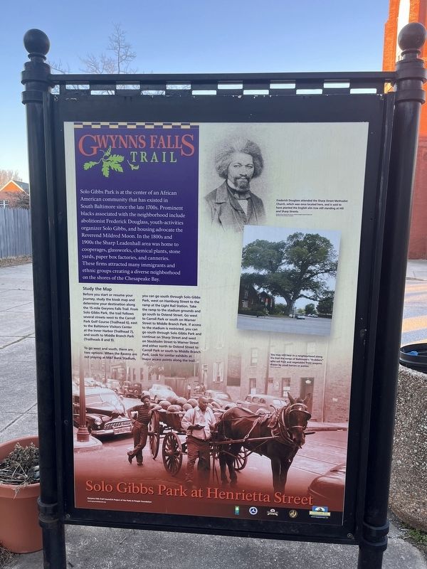
Solo Gibbs Park at Henrietta Street
Solo Gibbs Park is at the center of an African American community that has existed in South Baltimore since the late 1700s. Prominent blacks associated with the neighborhood include abolitionist Frederick Douglass, youth-activities organizer Solo Gibbs, and housing advocate the Reverend Mildred Moon. In the 1800s and 1900s the Sharp Leadenhall area was home to cooperages, glassworks, chemical plants, stone yards, paper box factories, and canneries. These firms attracted many immigrants and ethic groups creating a diverse neighborhood on the shores of the Chesapeake Bay.
[Captions:]
Frederick Douglass attended the Sharp Street Methodist Church, which was once located here, and is said to have planted the English elm tree still standing at Hill and Sharp Streets.
You may still hear in a neighborhood along the trail the songs of Baltimore's "Arabbers" who sell fruit and vegetables from wagons drawn by small horses or ponies.
Topics. This historical marker is listed in these topic lists: African Americans • Churches & Religion • Industry & Commerce • Settlements & Settlers.
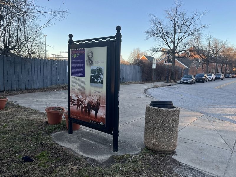
Location. 39° 16.755′ N, 76° 37.096′ W. Marker is in Baltimore, Maryland. It is in Sharp-Leadenhall. Marker is at the intersection of West Henrietta Street and South Sharp Street, on the right when traveling south on West Henrietta Street. Touch for map. Marker is at or near this postal address: 126 W Henrietta St, Baltimore MD 21230, United States of America. Touch for directions.
Other nearby markers. At least 8 other markers are within walking distance of this marker. Solo Gibbs Park (about 300 feet away, measured in a direct line); Struggling For Equality (about 400 feet away); Federal Hill and Otterbein (about 700 feet away); Leadenhall Baptist Church (about 800 feet away); Ebenezer AME Church (approx. 0.2 miles away); From Bricks and Pianos to Football (approx. 0.2 miles away); 8-10 Montgomery Street (approx. 0.2 miles away); Johnny Unitas (approx. 0.2 miles away). Touch for a list and map of all markers in Baltimore.

Photographed By Devry Becker Jones (CC0), February 20, 2022
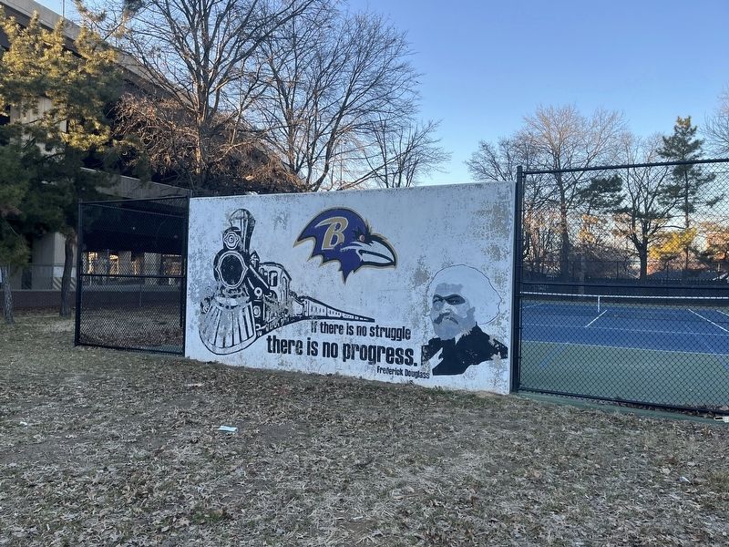
4. Nearby mural featuring Frederick Douglass
Credits. This page was last revised on February 21, 2022. It was originally submitted on February 21, 2022, by Devry Becker Jones of Washington, District of Columbia. This page has been viewed 72 times since then and 9 times this year. Photos: 1, 2, 3, 4. submitted on February 21, 2022, by Devry Becker Jones of Washington, District of Columbia.

![Gwynns Falls Trail Marker [Reverse]. Click for full size. Gwynns Falls Trail Marker [Reverse] image. Click for full size.](Photos6/640/Photo640144.jpg?221202214600PM)
