Millville in Worcester County, Massachusetts — The American Northeast (New England)
Udor Tower
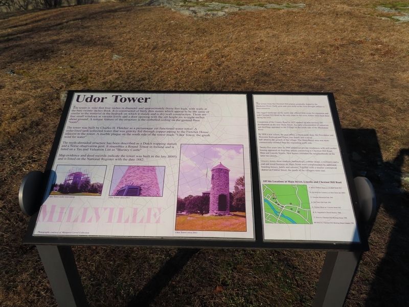
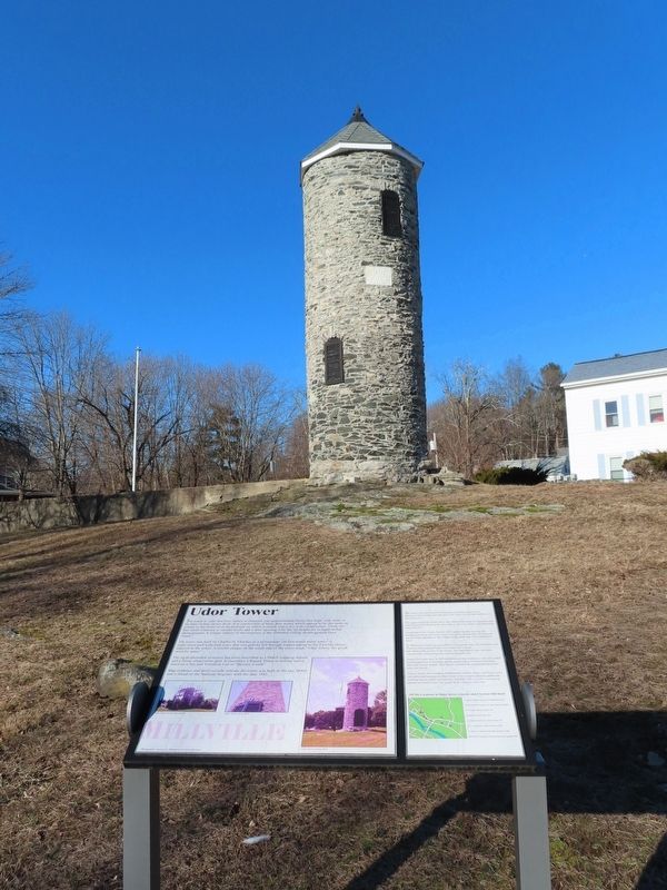
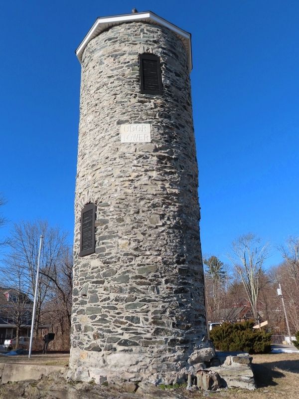
The tower is nine-feet four inches in diameter and approximately thirty feet high, with walls at the base twenty inches thick. It is constructed of fairly thin stones which appear to be the same or similar to the material in the bedrock on which it stands and is dry-wall construction. There are four small windows at various levels and a door opening with the sill height six to eight inches above ground. A unique feature of the structure is the corbelled ceiling on the ground floor "room".
The tower was built by Charles H. Fletcher as a picturesque yet functional water tower. A cedar-lined tank collected water that was gravity fed through copper piping to the Fletcher House adjacent to the tower. A marble plaque on the south side of the tower reads "Udor Tower, the greek word for water" The myth-shrouded structure has been described as a Dutch trapping station and a Norse observation post. It resembles a Round Tower in Ireland and is listed on a Tax and Valuation List as "Blarney Castle"
Map evidence and deed records indicate the tower was built in the late 1800's and is listed on the National Register with the date 1882.
The terrain from the Chestnut Hill plateau gradually sloped to the Blackstone River. Early grist and corn mills at the river brought settlers to these resources.
The rugged landscape on the north side offered little room for expansion and with Chestnut Hill Road as the only route to the river, homes were built there facing the river.
Completion of the County Road in 1825 opened up new territory for development on the new Main Street. An early concentration of industries and dwellings appeared in the Village on the north side of the Blackstone River.
By 1854 a new school, the post office, a blacksmith shop, the Providence and Worcester Railroad and Depot, two hotels and a social hall attest to the growth of the village. The Main Street area was more commercially-oriented than the expanding south side.
Twenty-five years later in 1898 additional private residences with mill worker housing appeared on four new streets connecting to Chestnut Hill Road, Main and Lincoln Streets. New homes extended the neighborhoods on the latter two streets.
Grocery stores, meat markets, barbershops, cobbler shops, a millinery and a coal and wood business on Main Street were complimented by additional boarding houses, hotels and saloons. Together with a smaller commercial district on Central Street, the needs of the villagers were met.
Topics. This historical marker is listed in this topic list: Industry & Commerce. A significant historical year for this entry is 1882.
Location. 42° 1.633′ N, 71° 34.865′ W. Marker is in Millville, Massachusetts, in Worcester County. Marker is on Central Street near Fletcher Avenue, on the left when traveling north. Touch for map. Marker is in this post office area: Millville MA 01529, United States of America. Touch for directions.
Other nearby markers. At least 8 other markers are within walking distance of this marker. Millville Mills (here, next to this marker); Millville Village (a few steps from this marker); Samuel Thompson’s Gristmill Stone 1727 (within shouting distance of this marker); Longfellow School (within shouting distance of this marker); The Raceway (within shouting distance of this marker); “Old Cemetery” (about 400 feet away, measured in a direct line); Millville Main Street (about 500 feet away); Millville Veterans Monument (about 500 feet away). Touch for a list and map of all markers in Millville.
Credits. This page was last revised on February 22, 2022. It was originally submitted on February 22, 2022, by Michael Herrick of Southbury, Connecticut. This page has been viewed 292 times since then and 61 times this year. Photos: 1, 2, 3. submitted on February 22, 2022, by Michael Herrick of Southbury, Connecticut.


