Millville in Worcester County, Massachusetts — The American Northeast (New England)
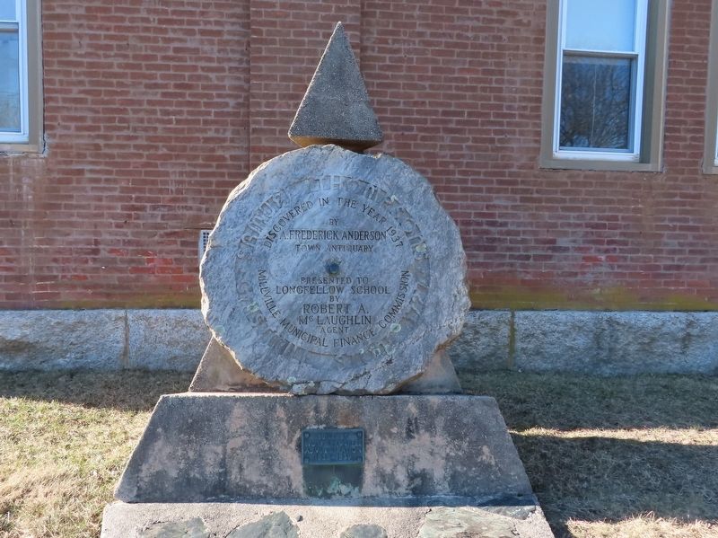
Samuel Thompsonís Gristmill Stone 1727
Discovered in the Year 1937
by
A. Frederick Anderson
Town Antiquary
Presented to Longfellow School
by
Robert A. Mcglaughlin
Agent
Milleville Municipal Finance Commission
Works Progress
Administration
1938 - 1939
Erected 1939 by Works Progress Administration.
Topics. This historical marker is listed in this topic list: Industry & Commerce. A significant historical year for this entry is 1727.
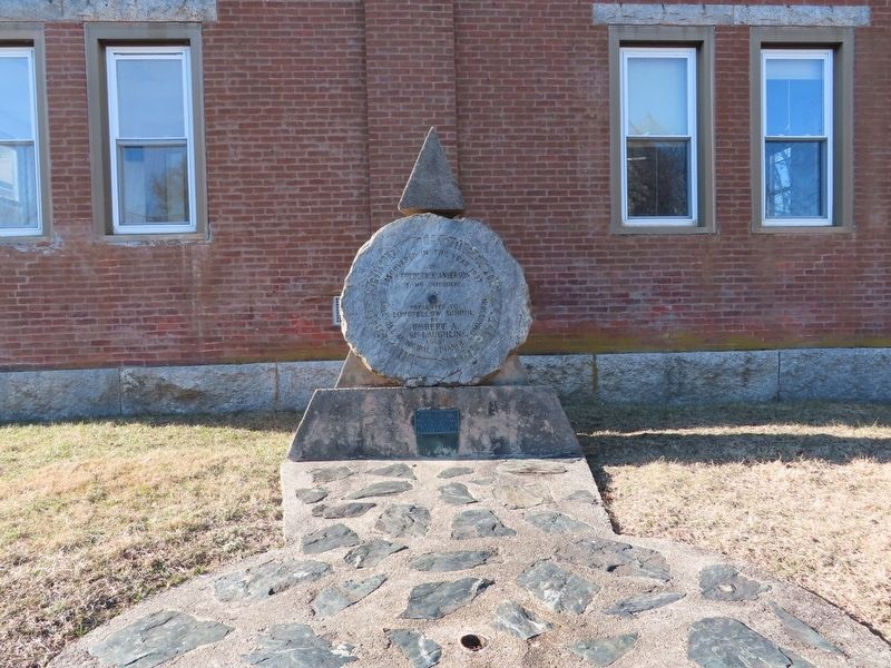
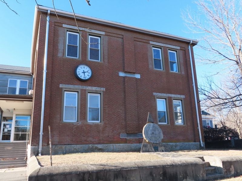
Location. 42° 1.639′ N, 71° 34.884′ W. Marker is in Millville, Massachusetts, in Worcester County. Marker is at the intersection of Central Street and Fletcher Avenue, on the left when traveling north on Central Street. The Gristmill Stone is leaning against the Longfellow School building. Touch for map. Marker is in this post office area: Millville MA 01529, United States of America. Touch for directions.
Other nearby markers. At least 8 other markers are within walking distance of this marker. Longfellow School (a few steps from this marker); Udor Tower (within shouting distance of this marker); Millville Mills (within shouting distance of this marker); Millville Village (within shouting distance of this marker); The Raceway (within shouting distance of this marker); ďOld CemeteryĒ (about 300 feet away, measured in a direct line); Millville Main Street (about 600 feet away); Blackstone Canal (about 600 feet away). Touch for a list and map of all markers in Millville.
Credits. This page was last revised on February 22, 2022. It was originally submitted on February 22, 2022, by Michael Herrick of Southbury, Connecticut. This page has been viewed 95 times since then and 8 times this year. Photos: 1, 2, 3. submitted on February 22, 2022, by Michael Herrick of Southbury, Connecticut.


