Beckley in Raleigh County, West Virginia — The American South (Appalachia)
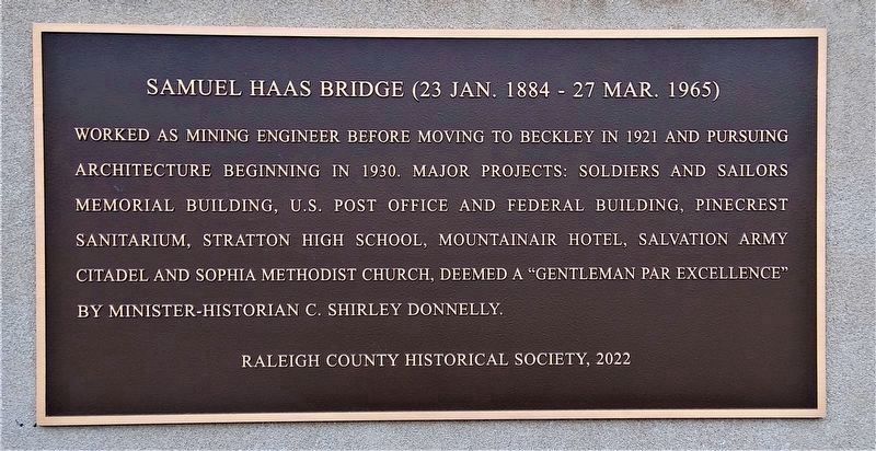
Samuel Haas Bridge (23 Jan. 1884 - 27 Mar. 1965)
Erected 2022 by Raleigh County Historical Society.
Topics. This historical marker is listed in these topic lists: Architecture • Industry & Commerce. A significant historical year for this entry is 1921.
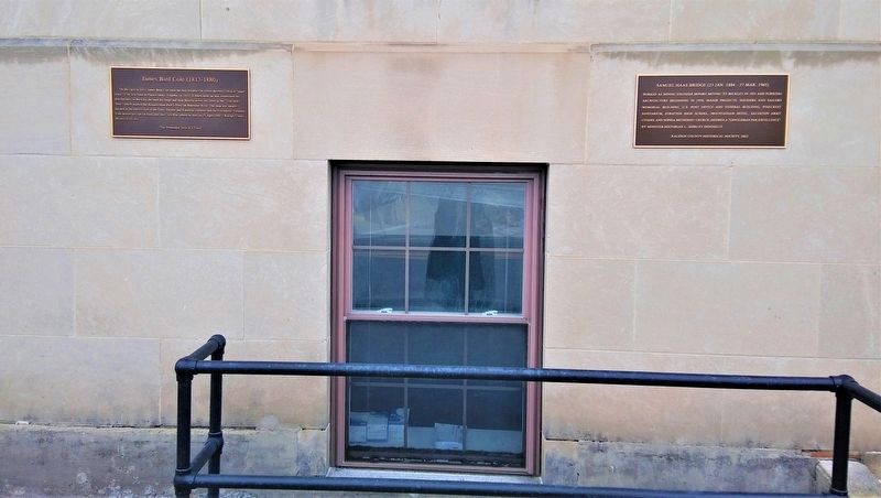
Location. 37° 46.615′ N, 81° 11.225′ W. Marker is in Beckley, West Virginia, in Raleigh County. Marker is at the intersection of South Kanawha Street (West Virginia Route 210) and Howe Street, on the right when traveling south on South Kanawha Street. The marker is affixed to Soldiers and Sailors Memorial Building parallel with James Bird Cole marker affixed in 2016. Touch for map. Marker is at or near this postal address: 200 S Kanawha St, Beckley WV 25801, United States of America. Touch for directions.
Other nearby markers. At least 8 other markers are within walking distance of this marker. Old City Hall (1925-1964) (a few steps from this marker); James Bird Cole (1813-1880) (a few steps from this marker); Beckley (about 400 feet away, measured in a direct line); The Raleigh County Bank (about 600 feet away); Gen. Alfred Beckley (about 600 feet away); Site of First State Police Headquarters (about 700 feet away); Salvation Wall (about 700 feet away); Civil War Site (about 700 feet away). Touch for a list and map of all markers in Beckley.
Credits. This page was last revised on March 3, 2022. It was originally submitted on February 20, 2022, by Merle T. Cole of Daniels, West Virginia. This page has been viewed 152 times since then and 21 times this year. Last updated on February 23, 2022, by Merle T. Cole of Daniels, West Virginia. Photos: 1, 2. submitted on February 20, 2022, by Merle T. Cole of Daniels, West Virginia. • Devry Becker Jones was the editor who published this page.

