Dimondale in Eaton County, Michigan — The American Midwest (Great Lakes)
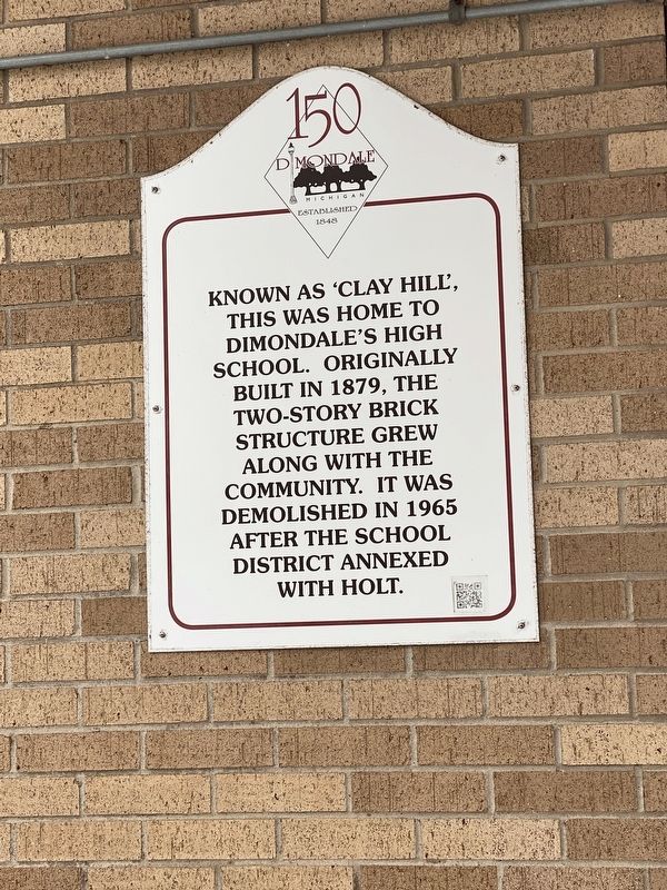
Clay Hill
Known as 'Clay Hill', this was home to Dimondale's High School. Originally built in 1879, the two-story brick structure grew along with the community. It was demolished in 1965 after the school district annexed with Holt.
Topics. This historical marker is listed in this topic list: Education. A significant historical year for this entry is 1879.
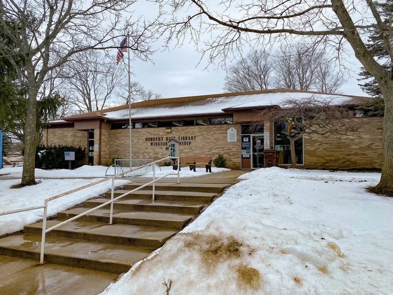
Location. 42° 38.783′ N, 84° 39.304′ W. Marker is in Dimondale, Michigan, in Eaton County. Marker is at the intersection of West Jefferson Street and Oak Street, on the right when traveling south on West Jefferson Street. The marker is located at the Dorothy Hull Library. Touch for map. Marker is at or near this postal address: 405 West Jefferson Street, Dimondale MI 48821, United States of America. Touch for directions.
Other nearby markers. At least 8 other markers are within walking distance of this marker. The Dimond House (about 700 feet away, measured in a direct line); Dimondale Fire (approx. ¼ mile away); Rick's Barber Shop (approx. 0.3 miles away); First Presbyterian Church Bell (approx. 0.4 miles away); First Presbyterian Church (approx. 0.4 miles away); Dimondale Cemetery World War I Memorial (approx. 0.4 miles away); Dimondale Cemetery World War II Memorial (approx. 0.4 miles away); Dimondale Cemetery Vietnam/Korea Memorial (approx. 0.4 miles away). Touch for a list and map of all markers in Dimondale.
Credits. This page was last revised on February 26, 2022. It was originally submitted on February 26, 2022, by J.T. Lambrou of New Boston, Michigan. This page has been viewed 126 times since then and 27 times this year. Photos: 1, 2, 3. submitted on February 26, 2022, by J.T. Lambrou of New Boston, Michigan. • J. Makali Bruton was the editor who published this page.


