Near New Johnsonville in Humphreys County, Tennessee — The American South (East South Central)
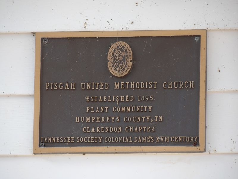
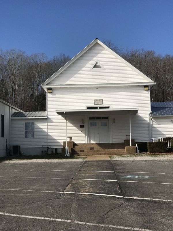
Pisgah United Methodist Church
Inscription.
Plant community
Humphreys County TN
Erected by Clarendon Chapter, Colonial Dames XVII Century.
Topics and series. This historical marker is listed in this topic list: Churches & Religion. In addition, it is included in the The Colonial Dames XVII Century, National Society series list. A significant historical year for this entry is 1895.
Location. 36° 0.793′ N, 87° 55.158′ W. Marker is near New Johnsonville, Tennessee, in Humphreys County. Marker is on Old State Highway 1 (County Route 1816) 0.1 miles east of Wagner Road, on the left when traveling east. Touch for map. Marker is at or near this postal address: 4860 Old State Rte 1, New Johnsonville TN 37134, United States of America. Touch for directions.
Other nearby markers. At least 8 other markers are within 4 miles of this marker, measured as the crow flies. Jesse James (approx. 0.9 miles away); Battle of Johnsonville (approx. 2.1 miles away); The Turntable (approx. 3.8 miles away); Old Johnsonville Cemetery (approx. 3.9 miles away); Crockett Cemetery (approx. 3.9 miles away); Building the Upper Redoubt (approx. 4 miles away); Old Johnsonville (approx. 4 miles away); Garrison Troops (approx. 4 miles away). Touch for a list and map of all markers in New Johnsonville.
Credits. This page was last revised on February 28, 2022. It was originally submitted on February 27, 2022, by Duane and Tracy Marsteller of Murfreesboro, Tennessee. This page has been viewed 113 times since then and 11 times this year. Photos: 1, 2. submitted on February 27, 2022, by Duane and Tracy Marsteller of Murfreesboro, Tennessee.

