LaGrange in Troup County, Georgia — The American South (South Atlantic)
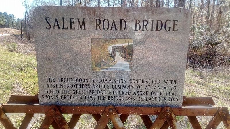
Salem Road Bridge
Topics. This historical marker is listed in these topic lists: Architecture • Bridges & Viaducts. A significant historical year for this entry is 1929.
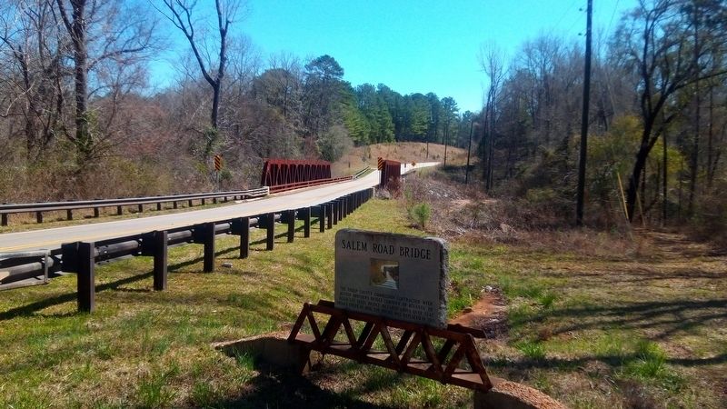
Location. 32° 55.149′ N, 84° 58.687′ W. Marker is in LaGrange, Georgia, in Troup County. Marker is on Salem Road, on the right when traveling south. Touch for map. Marker is at or near this postal address: Salem Rd, West Point GA 31833, United States of America. Touch for directions.
Other nearby markers. At least 8 other markers are within 8 miles of this marker, measured as the crow flies. Troup Factory (approx. 3.6 miles away); Noted Indian Trail (approx. 4.4 miles away); Jones Crossroads (approx. 4.8 miles away); Civil Rights Marker Honoring Henry "Peg" Gilbert (approx. 4.8 miles away); Sunnyside School, Midway Baptist Church and Midway Cemetery Historic District (approx. 6.9 miles away); Bethany Baptist Church (approx. 7.6 miles away); Whitesville Methodist Episcopal Church, South (approx. 7.6 miles away); Whitesville (approx. 7.7 miles away). Touch for a list and map of all markers in LaGrange.
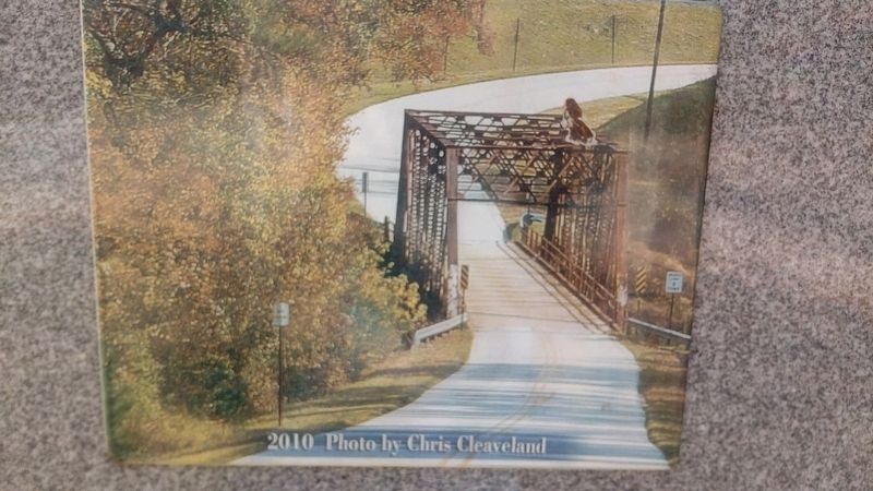
Regarding Salem Road Bridge. The Salem Road Bridge over Flat Shoals Creek, built in 1929, was Troup County's last remaining steel truss bridge. The main span was 126 feet long,and was a Riveted, 7-panel Pratt through truss. Replacement was necessary due to height restrictions,narrow width, poor ride quality, and the 5 ton load rating which prohibited school buses and emergency vehicles from crossing it.
Credits. This page was last revised on March 15, 2022. It was originally submitted on March 4, 2022, by James L.Whitman of Eufaula, Alabama. This page has been viewed 284 times since then and 51 times this year. Photos: 1, 2, 3. submitted on March 4, 2022, by James L.Whitman of Eufaula, Alabama. • Bill Pfingsten was the editor who published this page.


