Kingsville in Kleberg County, Texas — The American South (West South Central)
Mexican Activities at Santa Gertrudis in the 1830's
Inscription.
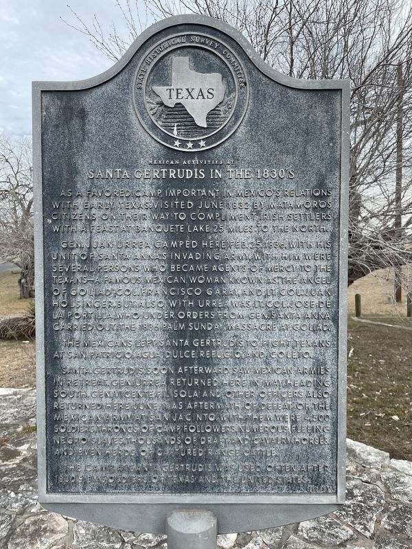
As a favored camp, important in Mexico's relations with early Texas. Visited June 1832 by Matamoros citizens on their way to compliment Irish settlers with a feast at Banquete Lake, 25 miles to the north.
Gen. Juan Urrea camped here Feb. 25, 1836, with his unit of Santa Anna's invading army. With him were several persons who became agents of mercy to the Texans - a famous Mexican woman known as "The Angel of Goliad"; Col. Francisco Garay, and Lt. Col. Juan Holsinger. But also with Urrea was Lt. Col. Jose de La Portilla, who under orders from Gen. Santa Anna carried out the 1836 Palm Sunday Massacre at Goliad.
The Mexicans left Santa Gertrudis to fight Texans at San Patricio, Agua Dulce, Refugio, and Coleto.
Santa Gertrudis soon afterward saw Mexican armies in retreat. Gen. Urrea returned here in May, heading south. Gen. Vicente Filisola and other officers also returned here June 11, as aftermath of defeat of the Mexican army at San Jacinto. With them were 4,500 soldiers, throngs of camp followers, numerous fleeing Negro slaves, thousands of draft and cavalry horses, and even herds of captured range cattle.
The camp at Santa Gertrudis was used often after 1830's by soldiers of Texas and the United States.
Erected 1967 by State Historical Survey Committee. (Marker Number 3355.)
Topics. This historical marker is listed in this topic list: War, Texas Independence. A significant historical date for this entry is February 25, 1836.
Location. 27° 31.332′ N, 97° 53.699′ W. Marker is in Kingsville, Texas, in Kleberg County. Marker is at the intersection of West King Avenue (State Highway 141) and West Santa Gertrudis Street, on the right when traveling west on West King Avenue. Touch for map. Marker is in this post office area: Kingsville TX 78363, United States of America. Touch for directions.
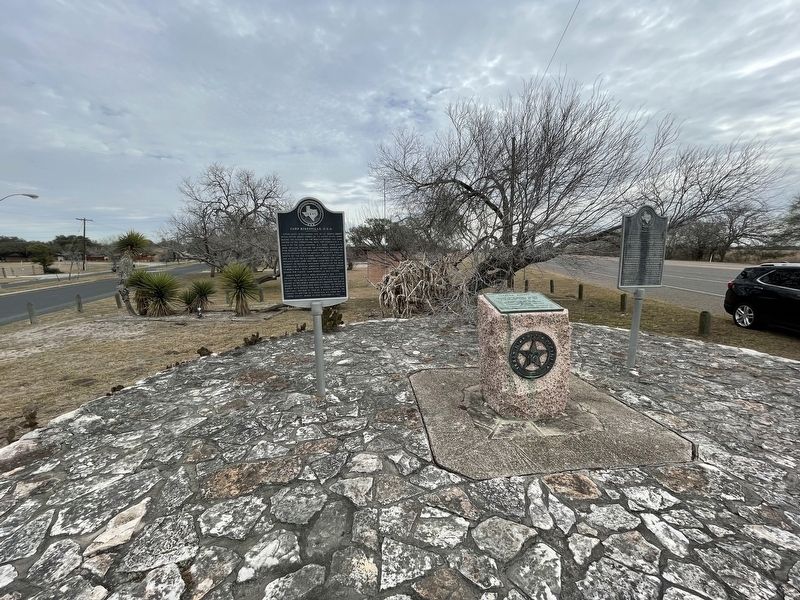
Other nearby markers. At least 8 other markers are within 2 miles of this marker, measured as the crow flies. Kleberg County (here, next to this marker); Camp Kingsville, U.S.A. (here, next to this marker); The King Ranch (approx. 0.2 miles away); King Ranch Quarter Horses (approx. 0.2 miles away); Texas A&M University-Kingsville (approx. 0.8 miles away); Henrietta M. King High School (approx. 1.4 miles away); Robert J. Kleberg Public Library (approx. 1˝ miles away); First Baptist Church of Kingsville (approx. 1˝ miles away). Touch for a list and map of all markers in Kingsville.
Credits. This page was last revised on May 14, 2023. It was originally submitted on March 7, 2022, by Brian Anderson of Humble, Texas. This page has been viewed 234 times since then and 28 times this year. Photos: 1, 2. submitted on March 7, 2022, by Brian Anderson of Humble, Texas.

