North Bennington in Bennington County, Vermont — The American Northeast (New England)
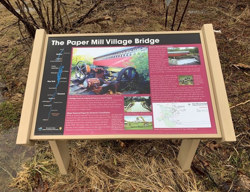
The Paper Mill Village Bridge
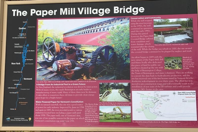
A Bridge From An Industrial Past to a Green Future
In New England, the industrial revolution was driven by water power. With its many rivers, this made Bennington an early leader in manufacturing of many types. Many of these dams now lie dormant. A new effort to transition these old dams to provide clean energy gives hope for a bright future!
Water Powered Paper for Vermont's Constitution
With its natural waterfall, this site was a good source of power for early industry. Improved by dams in 1784 and again in 1889, the river provided power to various industries located here including a paper mill until about 1958. The paper mill, one of Vermont's first, was one of two possible sources for the paper on Vermont's constitution was written in 1791.
Conservation and Community
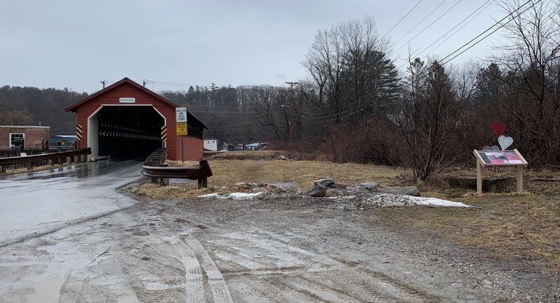
While the mill stopped using the river for power in the 1950s, the mill continued in operation until the early 1990s. During this period however, the Paper Mill Covered Bridge suffered from vandalism and water damage, which worsened after the closing of the mill. While the bridge was rebuilt in 2000, the site around the covered bridge continued to be plagued by neglect and trash.
An effort began in 2009 with the new owners of the Paper Mill, Bill and Maria Scully who dedicated this piece of land for public use and have cleaned up the site with the help of Bennington College, the Town of Bennington, and many volunteers. They are working to convert the dam back to hydroelectric production, and the site has received one of the first licenses issued in Vermont for a hydroelectric redevelopment in over thirty years. The effort has now moved to pre-construction stages and will eventually result in the installation of new state of the art turbines and could provide power to 240+ homes in the area.
(main photo) View of the Paper Mill Covered Bridge with original hydro power equipment in the foreground.
center middle photo) The Moseley Bridge in its original location, with the Paper Covered Bridge in the background.
(bottom center photo) The Moseley Bridge being placed in its new location on a walking trail from the Hiland Hall Garden to the Mile Around Woods located adjacent to the Park McCullough House in North Bennington.
(upper right photo) View of the dam from the roof from the paper mill.
(right middle photo) Hundreds of tires and tons of trash were removed as part of a cleanup of the site starting in 2009.
(bottom right map) Site plan of the proposed hydroelectric for The Paper Mill Bridge site.
Erected by Champlain Valley National Heritage Partnership.
Topics. This historical marker is listed in these topic lists: Bridges & Viaducts • Industry & Commerce. A significant historical year for this entry is 1784.
Location. 42° 54.752′ N, 73° 14.022′ W. Marker is in North Bennington, Vermont, in Bennington County. Marker is on Murphy Road, 0.1 miles south of N Bennington Road (Vermont Route 67A), on the right when traveling north. Touch for map. Marker is in this post office area: North Bennington VT 05257, United States of America. Touch for directions.
Other nearby markers. At least 8 other markers are within 2 miles of this marker, measured as the crow flies. Paper Mill History / Covered Bridges Span Rivers And Time (within shouting distance of this marker); Birthplace of Vermont (approx. 0.8 miles away); Seth Warner House (approx. one mile away); McWaters Park (approx. one mile away); Hub of History (approx. one mile away); Henry Covered Bridge (approx. 1.1 miles away); Park-McCullough House (approx. 1.3 miles away); Railroad Station (approx. 1.4 miles away). Touch for a list and map of all markers in North Bennington.
Credits. This page was last revised on March 17, 2022. It was originally submitted on March 8, 2022, by Steve Stoessel of Niskayuna, New York. This page has been viewed 183 times since then and 46 times this year. Photos: 1, 2, 3. submitted on March 8, 2022, by Steve Stoessel of Niskayuna, New York. • Michael Herrick was the editor who published this page.


