Pleasanton in Alameda County, California — The American West (Pacific Coastal)
Nevis Pavilion
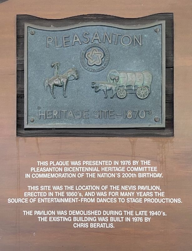
Pleasanton Heritage Site - 1870s
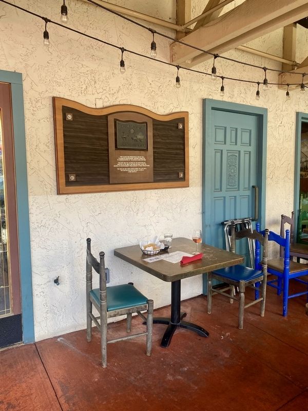
This site was the location of the Nevis Pavilion, erected in the 1860's, and was for many years the source of entertainment - from dances to stage productions.
The pavilion was demolished during the late 1940's. The existing building was built in 1976 by Chris Beratlis.
Topics. This historical marker is listed in this topic list: Entertainment.
Location. 37° 39.602′ N, 121° 52.577′ W. Marker is in Pleasanton, California, in Alameda County. Marker is on Main Street, on the right when traveling south. Touch for map. Marker is at or near this postal address: 435 Main Street, Pleasanton CA 94566, United States of America. Touch for directions.
Other nearby markers. At least 8 other markers are within walking distance of this marker. Johnston Building (within shouting distance of this marker); Gay 90's Pizzeria (about 600 feet away, measured in a direct line); The Pleasanton Sign (about 600 feet away); Larkin Locke House (about 600 feet away); The Roxy Theatre (approx. 0.2 miles away); J. W. Kottinger’s Barn (approx. 0.3 miles away); Kottinger’s Barn (approx. 0.3 miles away); Pleasanton Cheese Factory (approx. 0.3 miles away). Touch for a list and map of all markers in Pleasanton.
Credits. This page was last revised on March 21, 2022. It was originally submitted on March 21, 2022, by Andrew Ruppenstein of Lamorinda, California. This page has been viewed 190 times since then and 21 times this year. Photos: 1, 2, 3. submitted on March 21, 2022, by Andrew Ruppenstein of Lamorinda, California.


