Grant in Montgomery County, Iowa — The American Midwest (Upper Plains)
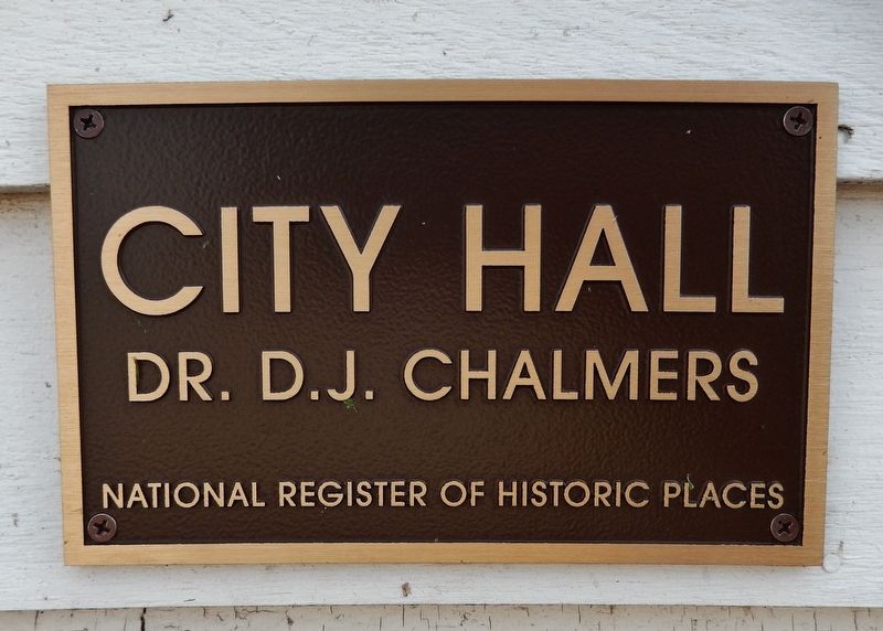
City Hall
Dr. D.J. Chalmers
— National Register of Historic Places —
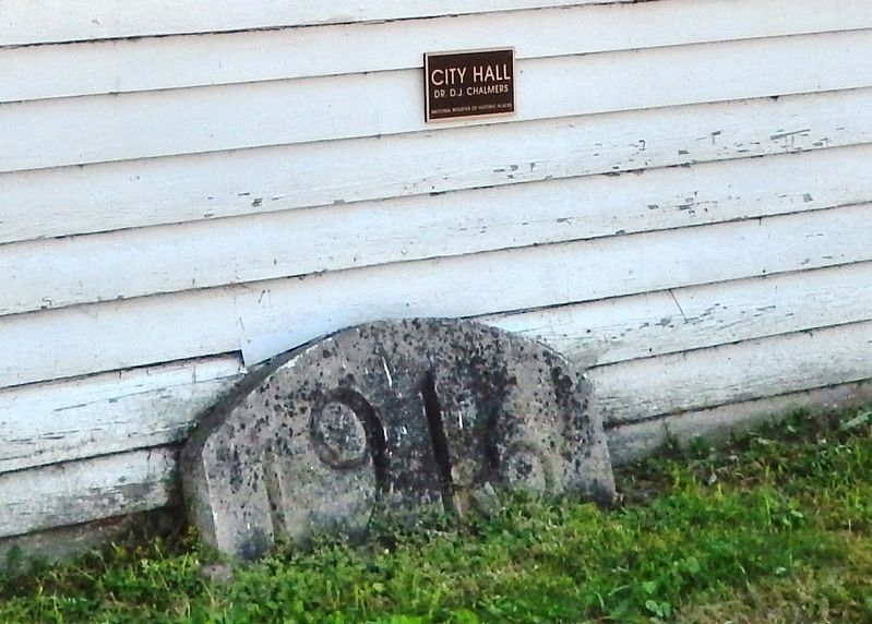
Topics. This historical marker is listed in this topic list: Notable Buildings. A significant historical year for this entry is 1916.
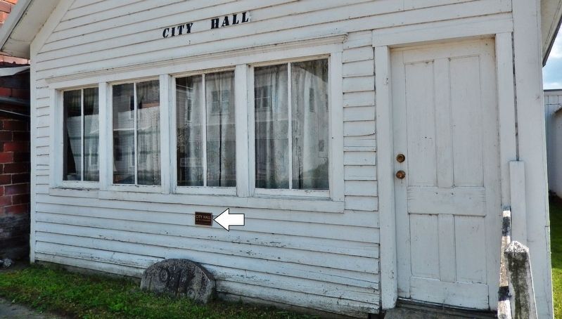
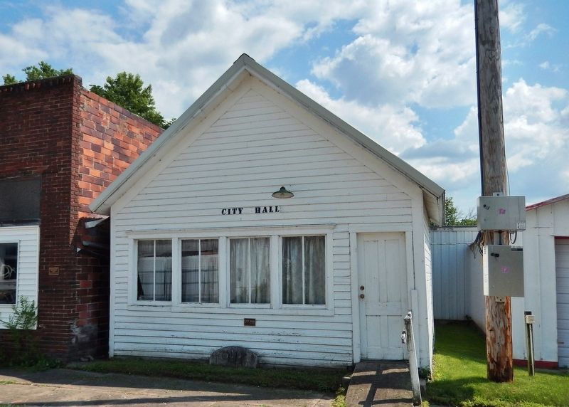
Location. 41° 8.51′ N, 94° 59.069′ W. Marker is in Grant, Iowa, in Montgomery County. Marker is on 2nd Street just east of U Avenue (Old U.S. 71), on the right when traveling east. Marker is mounted on the north/front façade of the Grant City Hall building. Touch for map. Marker is in this post office area: Grant IA 50847, United States of America. Touch for directions.
Other nearby markers. At least 8 other markers are within 13 miles of this marker, measured as the crow flies. Kenworthy Building 1916 (here, next to this marker); Commemorating the "Old Mill" (a few steps from this marker); Post Office / Bryant Building / Barber Shop (within shouting distance of this marker); William Stipe (approx. half a mile away); Veterans Memorial (approx. 10½ miles away); Lewis Freedom Rock Veterans Memorial (approx. 12.3 miles away); Memorial Building (approx. 12.6 miles away); World Wars Memorial (approx. 12.6 miles away). Touch for a list and map of all markers in Grant.
Regarding City Hall. Contributing property, Grant Commercial Historic District, National Register of Historic Places #02001031.
Also see . . . Grant Commercial Historic District.
The historic district covers the town's central business district. Grant is a small town located in northeast Montgomery County in the southwest quadrant of the state. It was platted in 1858, and it was known as Milford until the early 20th century even though its post office was Grant. While not on a railroad, the town was still able to maintain a viable commercial district. There are an unusual number of frame commercial structures. The period of significance is from 1871 to 1952, and the buildings were constructed during that time frame.(Submitted on March 21, 2022, by Cosmos Mariner of Cape Canaveral, Florida.)
Credits. This page was last revised on March 21, 2022. It was originally submitted on March 21, 2022, by Cosmos Mariner of Cape Canaveral, Florida. This page has been viewed 187 times since then and 31 times this year. Photos: 1, 2, 3, 4. submitted on March 21, 2022, by Cosmos Mariner of Cape Canaveral, Florida.


