Sparrow Bush in Orange County, New York — The American Northeast (Mid-Atlantic)
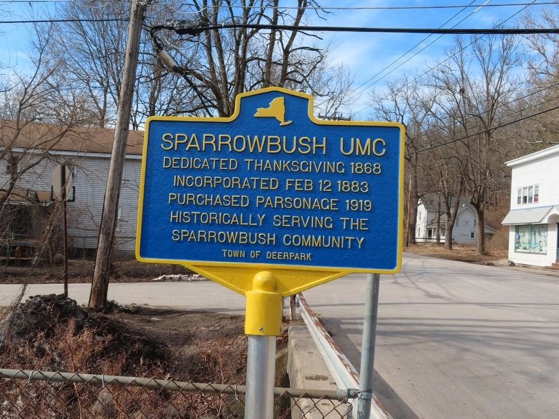
Sparrowbush UMC
Incorporated Feb 12 1883
Purchased parsonage 1919
Historically serving the
Sparrowbush community
Topics. This historical marker is listed in this topic list: Churches & Religion. A significant historical date for this entry is February 12, 1883.
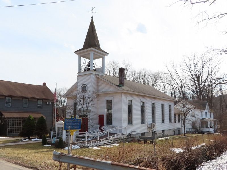
Location. 41° 23.998′ N, 74° 43.401′ W. Marker is in Sparrow Bush, New York, in Orange County. Marker is at the intersection of Main Street and Lower Brook Road, on the right when traveling south on Main Street. Located in front of the Sparrowbush United Methodist Church. Touch for map. Marker is in this post office area: Sparrow Bush NY 12780, United States of America. Touch for directions.
Other nearby markers. At least 8 other markers are within 2 miles of this marker, measured as the crow flies. Sparrowbush Veterans Memorial (a few steps from this marker); Tannery (about 700 feet away, measured in a direct line); Sparrowbush (approx. Ľ mile away); Deerpark Veterans Memorial (approx. 0.3 miles away); Indian Raid (approx. 1.2 miles away); Hawk’s Nest (approx. 1˝ miles away); Decker Fort (approx. 1.9 miles away); Fort Burned by Indians (approx. 1.9 miles away). Touch for a list and map of all markers in Sparrow Bush.
Credits. This page was last revised on March 22, 2022. It was originally submitted on March 22, 2022, by Michael Herrick of Southbury, Connecticut. This page has been viewed 146 times since then and 21 times this year. Photos: 1, 2. submitted on March 22, 2022, by Michael Herrick of Southbury, Connecticut.

