Frankfort in Franklin County, Kentucky — The American South (East South Central)
Turnpike Era Fence
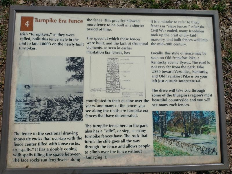
The fence in the sectional drawing shows tie rocks that overlap with the fence center filled with loose rocks, or "spalls.” It has a double coping with spalls filling the space between. The face rocks run lengthwise along the fence. This practice allowed more fence to be built in a shorter period of time.
The speed at which these fences were built, and the lack of structural elements, as seen in earlier Plantation Era fences, has contributed to their decline over the years, and many of the fences you see along the roads are turnpike era fences that have deteriorated.
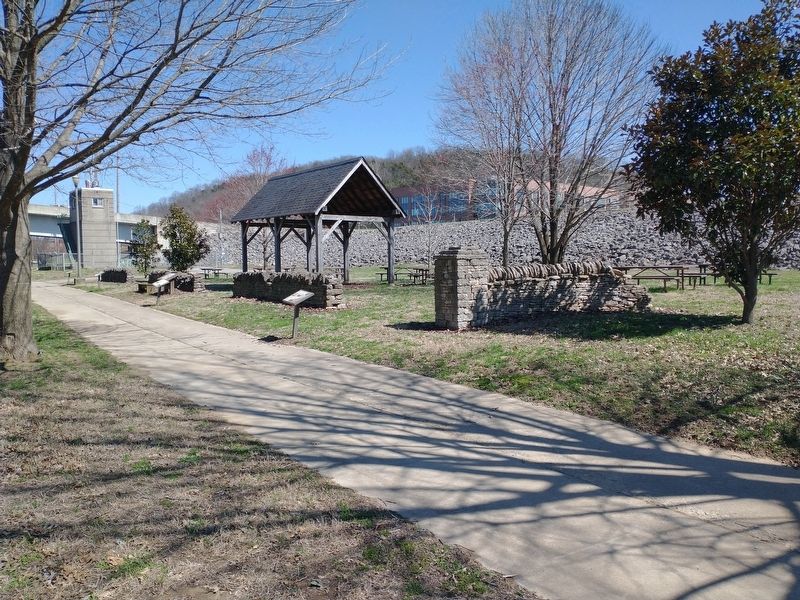
The turnpike fence here in the park also has a "stile", or step, as many turnpike fences have. The rock that forms the stile goes all the way through the fence and allows people to climb over the fence without damaging it.
It is a mistake to refer to these fences as "slave fences.” After the Civil War ended, many freedmen took up the craft of dry-laid masonry, and built fences well into the mid-20th century.
Locally, this style of fence may be seen on Old Frankfort Pike, a Kentucky Scenic Byway. The road is not very far from the park. Take US60 toward Versailles, Kentucky, and Old Frankfort Pike is on your left just outside Interstate 64.
The drive will take you through some of the Bluegrass region's most beautiful countryside and you will see many rock fences. (Marker Number 4.)
Topics. This historical marker is listed in this topic list: Architecture.
Location. 38° 12.192′ N, 84° 52.786′ W. Marker is in Frankfort, Kentucky, in Franklin County. Marker is on Wilkinson Boulevard, on the right when traveling south. Located along the Riverview Trail in River View Park. Touch for map. Marker is in this post office area: Frankfort KY 40601, United States of America. Touch for directions.
Other nearby markers. At least 8 other markers are within walking distance of this marker. The R. T. Brooks Pavilion (a few steps from this marker); Farm Entryway and Pillar (a few steps from this marker); Kentucky Edge Fence (a few steps from this marker); Franks Ford, Fishtrap Island, and Craw (within shouting distance of this marker); Plantation Era Fence (within shouting distance of this marker); List of CSO Points in Frankfort (about 300 feet away, measured in a direct line); History of Kentucky's Formation (about 300 feet away); Kentucky River Water Trail (about 400 feet away). Touch for a list and map of all markers in Frankfort.
Credits. This page was last revised on March 25, 2022. It was originally submitted on March 25, 2022, by Craig Doda of Napoleon, Ohio. This page has been viewed 87 times since then and 13 times this year. Photos: 1, 2, 3. submitted on March 25, 2022, by Craig Doda of Napoleon, Ohio. • Mark Hilton was the editor who published this page.


