Frankfort in Franklin County, Kentucky — The American South (East South Central)
History of Kentucky's Formation
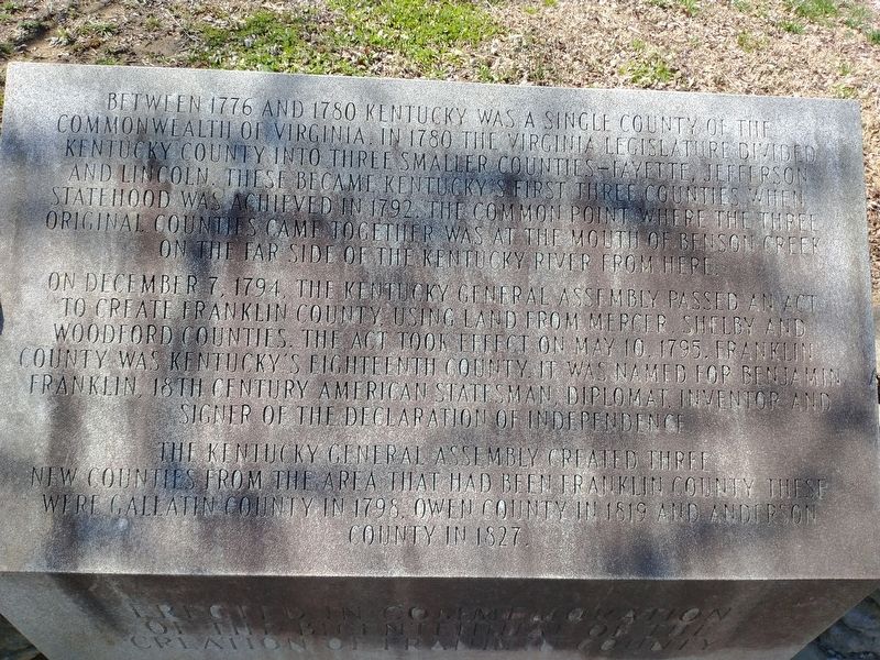
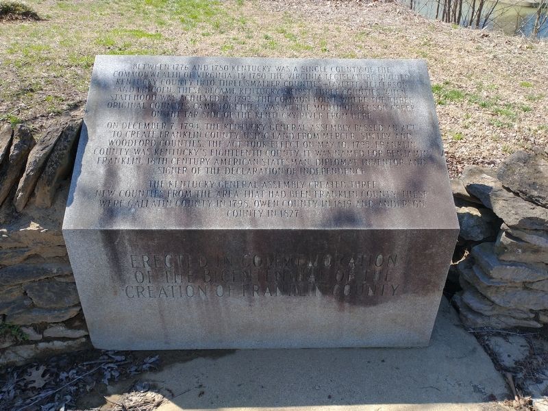
On December 7, 1794, the Kentucky general assembly passed an act to create Franklin County using land from Mercer, Shelby and Woodford Counties. The act took effect on May 10, 1795. Franklin County was Kentucky's eighteenth county. It was named for Benjamin Franklin, 18th century American statesman, diplomat, inventor and signer of the Declaration of Independence.
The Kentucky General Assembly created three new counties from the area that had been Franklin County. These were Gallatin County in 1798, Owen County in 1819 and Anderson County in 1827.
Topics. This historical marker is listed in this topic list: Political Subdivisions. A significant historical date for this entry is May 10, 1795.
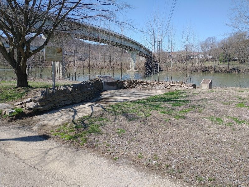
Location. 38° 12.241′ N, 84° 52.751′ W. Marker is in Frankfort, Kentucky, in Franklin County. Marker is on Wilkinson Boulevard, on the right when traveling south. Located in River View Park along the Kentucky River. Touch for map. Marker is in this post office area: Frankfort KY 40601, United States of America. Touch for directions.
Other nearby markers. At least 8 other markers are within walking distance of this marker. List of CSO Points in Frankfort (a few steps from this marker); Kentucky River Water Trail (a few steps from this marker); Fort Hill Overlooking the Kentucky River (within shouting distance of this marker); Gone But Not Forgotten – Frankfort’s “Craw” (within shouting distance of this marker); Plantation Era Fence (within shouting distance of this marker); Kentucky Edge Fence (about 300 feet away, measured in a direct line); The R. T. Brooks Pavilion (about 300 feet away); Turnpike Era Fence (about 300 feet away). Touch for a list and map of all markers in Frankfort.
Credits. This page was last revised on March 26, 2022. It was originally submitted on March 25, 2022, by Craig Doda of Napoleon, Ohio. This page has been viewed 75 times since then and 8 times this year. Photos: 1, 2, 3. submitted on March 25, 2022, by Craig Doda of Napoleon, Ohio. • Mark Hilton was the editor who published this page.


