Frankfort in Franklin County, Kentucky — The American South (East South Central)
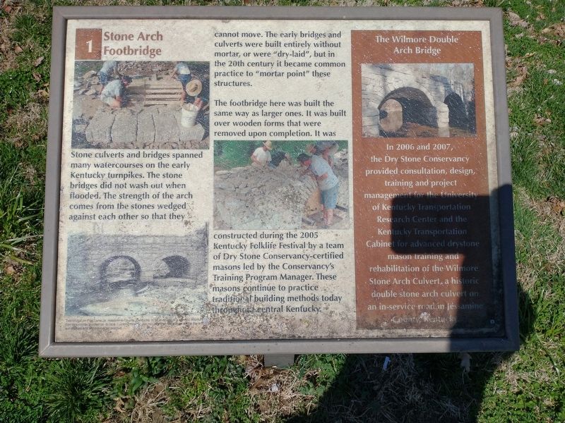
Stone Arch Footbridge
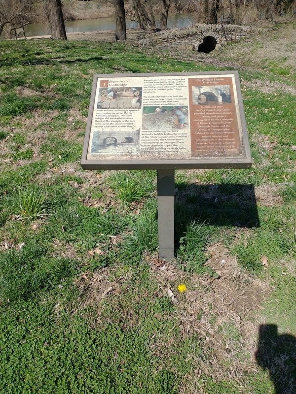
The footbridge here was built the same way as larger ones. It was built over wooden forms that were removed upon completion. It was constructed during the 2005 Kentucky Folklife Festival by a team of Dry Stone Conservancy-certified masons led by the Conservancy's Training Program Manager. These masons continue to practice traditional building methods today throughout central Kentucky.
The Wilmore Double Arch Bridge
In 2006 and 2007, the Dry Stone Conservancy provided consultation, design, training and project management for the University of Kentucky Transportation Research Center and the Kentucky Transportation Cabinet for advanced drystone mason training and rehabilitation of the Wilmore Stone Arch Culvert, a historic double stone arch culvert on an in-service road.in Jessamine County, Kentucky. (Marker Number 1.)
Topics. This historical marker is listed in this topic list: Bridges & Viaducts. A significant historical year for this entry is 2005.
Location. 38° 12.328′ N, 84° 52.648′ W. Marker is in Frankfort, Kentucky, in Franklin County. Marker is on Wilkinson Boulevard, on the right when traveling south. Located in River View Park on the Riverview Trail. Touch for map. Marker is in this post office area: Frankfort KY 40601, United States of America. Touch for directions.
Other nearby markers. At least 8 other markers are within walking distance of this marker. Locks and Dams (within shouting distance of this marker); Welcome to Kentucky River View Park! (within shouting distance of this marker); Dry Stone Masonry in Kentucky (about 300 feet away, measured in a direct line); Fort Hill Overlooking the Kentucky River (about 600 feet away); Gone But Not Forgotten – Frankfort’s “Craw” (about 600 feet away); Kentucky River Water Trail (about 700 feet away); List of CSO Points in Frankfort (about 700 feet away); History of Kentucky's Formation (about 700 feet away). Touch for a list and map of all markers in Frankfort.
Credits. This page was last revised on March 26, 2022. It was originally submitted on March 25, 2022, by Craig Doda of Napoleon, Ohio. This page has been viewed 138 times since then and 26 times this year. Photos: 1, 2, 3. submitted on March 25, 2022, by Craig Doda of Napoleon, Ohio. • Mark Hilton was the editor who published this page.


