Frankfort in Franklin County, Kentucky — The American South (East South Central)
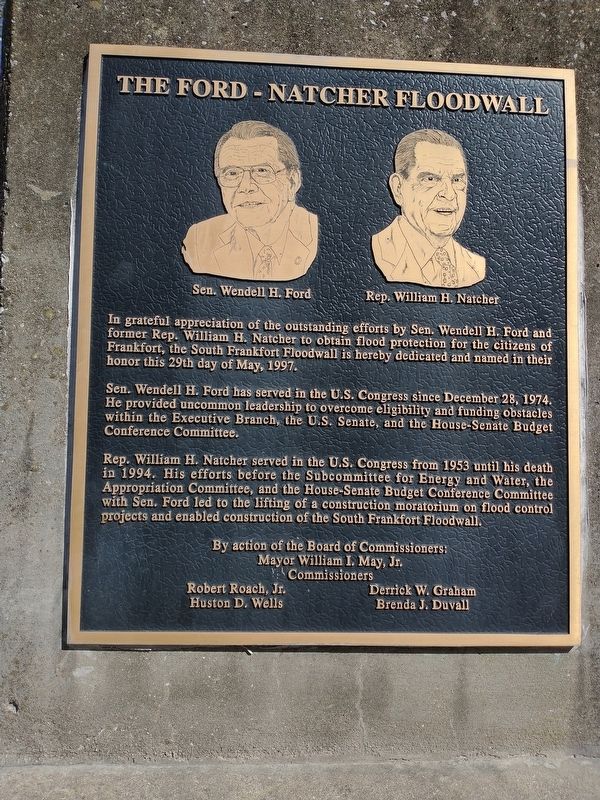
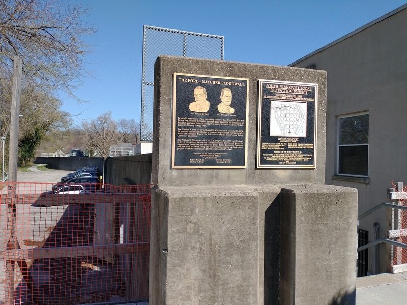
The Ford - Natcher Floodwall
Sen. Wendell H. Ford has served in the U.S. Congress since December 28, 1974. He provided uncommon leadership to overcome eligibility and funding obstacles within the Executive Branch, the U.S. Senate, and the House-Senate Budget Conference Committee.
Rep. William H. Natcher served in the U.S. Congress from 1953 until his death in 1994. His efforts before the Subcommittee for Energy and Water, the Appropriation Committee, and the House-Senate Budget Conference Committee with Sen. Ford led to the lifting of a construction moratorium on flood control projects and enabled construction of the South Frankfort Floodwall.
Topics. This historical marker is listed in this topic list: Government & Politics. A significant historical month for this entry is May 1997.
Location. 38° 11.751′ N, 84° 52.726′ W. Marker is in Frankfort, Kentucky, in Franklin County. Marker is on Bridge Street north of West 2nd Street, in the median. Touch for map. Marker is in this post office area: Frankfort KY 40601, United States of America. Touch for directions.
Other nearby markers. At least 8 other markers are within walking distance of this marker . Frankfort Bridge Site (about 500 feet away, measured in a direct line); First Baptist Church (about 600 feet away); Good Shepherd Church (about 700 feet away); Early Families Here / Early South Frankfort (about 700 feet away); Franklin County Veterans Memorial (approx. 0.2 miles away); Paul Sawyier Library (approx. 0.2 miles away); Justice Todd House (approx. 0.2 miles away); Corner In Celebrities (approx. 0.2 miles away). Touch for a list and map of all markers in Frankfort.
Credits. This page was last revised on March 26, 2022. It was originally submitted on March 25, 2022, by Craig Doda of Napoleon, Ohio. This page has been viewed 94 times since then and 7 times this year. Photos: 1, 2, 3, 4. submitted on March 25, 2022, by Craig Doda of Napoleon, Ohio. • Mark Hilton was the editor who published this page.


