McLemoresville in Carroll County, Tennessee — The American South (East South Central)
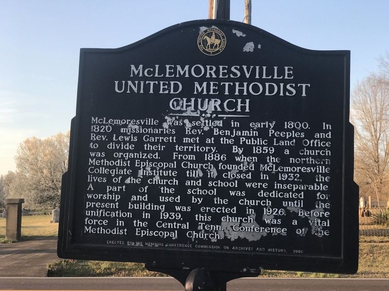
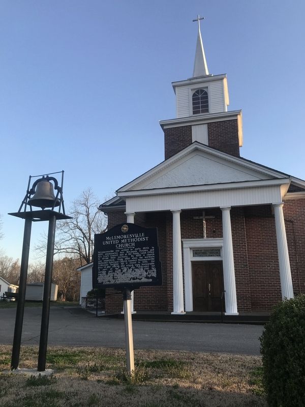
McLemoresville United Methodist Church
Inscription.
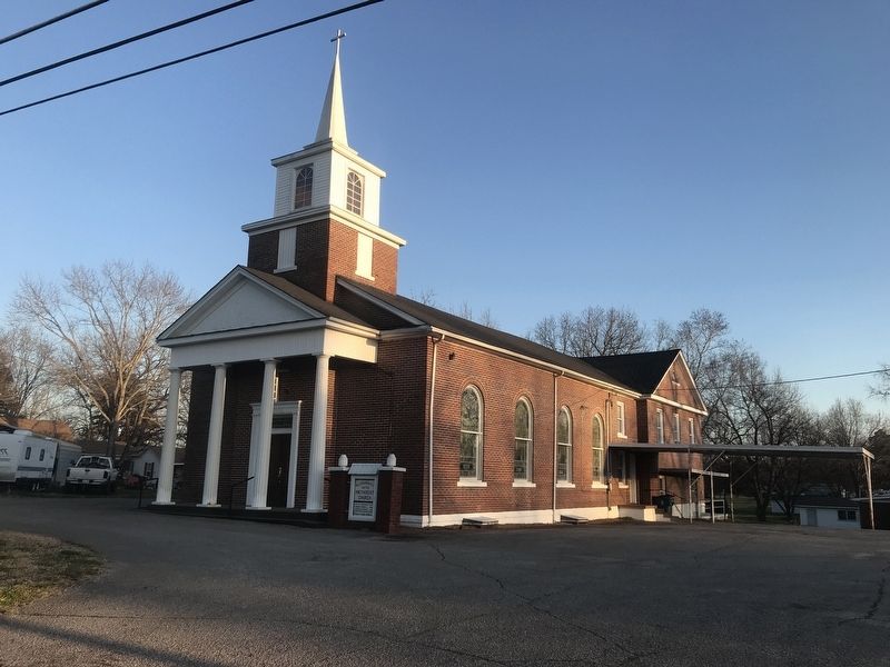
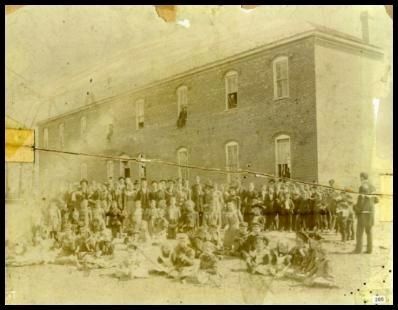
McLemoresville was settled in early 1800. In 1820 missionaries Rev. Benjamin Peeples and Rev. Lewis Garrett met at the Public Land Office to divide their territory. By 1859 a church was organized. From 1886 when the northern Methodist Episcopal Church founded McLemoresville Collegiate Institute till it closed in 1932, the lives of the church and school were inseparable. A part of the school dedicated for worship and used by church until the present building was erected in 1926. Before unification in 1939, this church was a vital force in the Central Tenn. Conference of the Methodist Episcopal Church.
Erected 1986 by Memphis Conference Commission on Archives and History.
Topics. This historical marker is listed in these topic lists: Churches & Religion • Education • Settlements & Settlers. A significant historical year for this entry is 1859.
Location. 35° 59.258′ N, 88° 34.677′ W. Marker is in McLemoresville, Tennessee, in Carroll County. Marker is at the intersection of West College Street (Tennessee Route 105) and Church Street, on the right when traveling east on West College Street. Touch for map. Marker is in this post office area: Atwood TN 38220, United States of America. Touch for directions.
Other nearby markers. At least 8 other markers are within 7 miles of this marker, measured as the crow flies. Bethel College (about 400 feet away, measured in a direct line); Reedy Creek Missionary Baptist Church (about 600 feet away); Forrest's Raid (approx. 0.2 miles away); First County Court (approx. 0.2 miles away); Hillsman House (approx. 3.1 miles away); Christmasville (approx. 6 miles away); Gordon Browning (approx. 6.7 miles away); Carroll County / Gibson County (approx. 6.9 miles away). Touch for a list and map of all markers in McLemoresville.
Credits. This page was last revised on March 25, 2022. It was originally submitted on March 25, 2022, by Duane and Tracy Marsteller of Murfreesboro, Tennessee. This page has been viewed 176 times since then and 47 times this year. Photos: 1, 2, 3, 4. submitted on March 25, 2022, by Duane and Tracy Marsteller of Murfreesboro, Tennessee.


