Marker Logo HMdb.org THE HISTORICAL
MARKER DATABASE
“Bite-Size Bits of Local, National, and Global History”
McCamey in Upton County, Texas — The American South (West South Central)
 

McCamey Junior High School


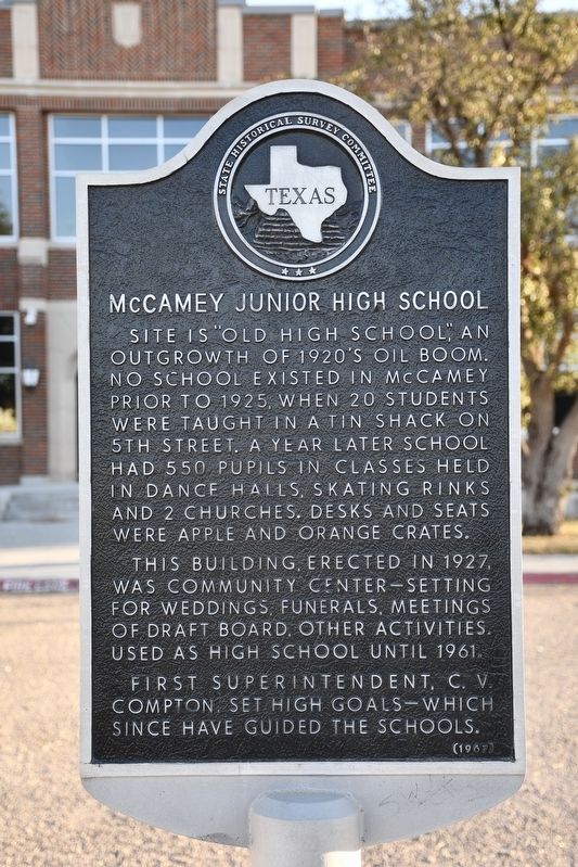
McCamey Junior High School Marker image. Click for full size.
cmh2315fl via Flickr (CC BY-NC 2.0), December 20, 2021
1. McCamey Junior High School Marker
Inscription. Site is "Old High School," an outgrowth of 1920s oil boom. No school existed in McCamey prior to 1925, when 20 students were taught in a tin shack on 5th street. A year later school had 550 pupils in classes held in dance halls, skating rinks and 2 churches. Desks and seats were apple and orange crates. This building, erected in 1927, was community center – setting for weddings, funerals, meetings of Draft Board, other activities. Used as high school until 1961. First superintendent, C. V. Compton, set high goals – which since have guided the schools.
 
Erected 1967 by Texas Historical Commission. (Marker Number 3277.)
 
Topics. This historical marker is listed in this topic list: Education. A significant historical year for this entry is 1927.
 
Location. 31° 7.674′ N, 102° 13.196′ W. Marker is in McCamey, Texas, in Upton County. Marker is at the intersection of East 11th Street and South McKinney Avenue, on the right when traveling east on East 11th Street. Marker is on sidewalk, between the road and school driveway, in front of the school building. Touch for map. Marker is in this post office area: Mc Camey TX 79752, United States of America. Touch for directions.
 
Other nearby markers. At least 8 other markers are within 2 miles of this marker, measured as the crow flies. The Little House on the Corner (about 300 feet away, measured in a direct line); Nancy Ethie Eagleton
Paid Advertisement
Click on the ad for more information.
Please report objectionable advertising to the Editor.
Click or scan to see
this page online
(approx. 0.4 miles away); King Mountain (approx. 0.7 miles away); Mendoza Trail (approx. 0.7 miles away); Early Humble Camp in Permian Basin (approx. ¾ mile away); Bobcat Hills (West of Highway) (approx. 1.2 miles away); McCamey (approx. 1.7 miles away); T.P. Tavern (approx. 1.8 miles away). Touch for a list and map of all markers in McCamey.
 
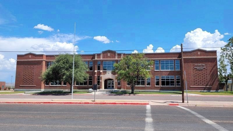
The view of the McCamey Junior High School and Marker from across the street image. Click for full size.
Photographed By James Hulse, July 2, 2022
2. The view of the McCamey Junior High School and Marker from across the street
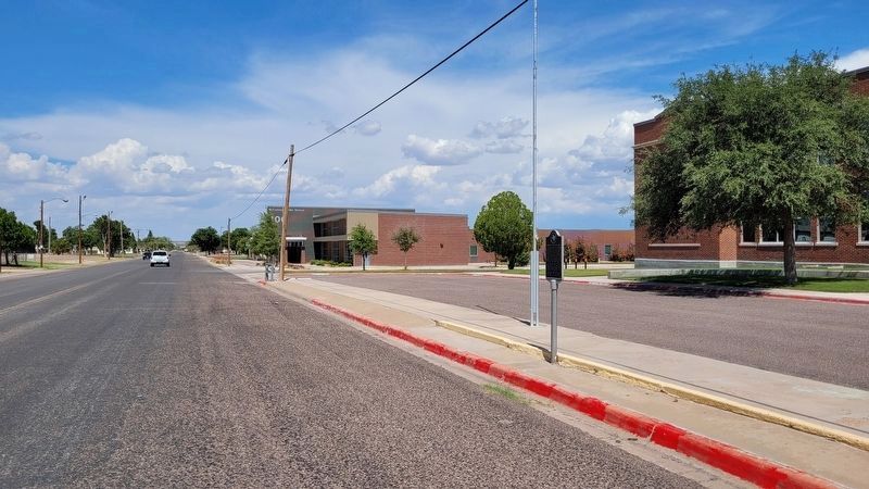
The view of McCamey Junior High School and Marker from the sidewalk image. Click for full size.
Photographed By James Hulse, July 2, 2022
3. The view of McCamey Junior High School and Marker from the sidewalk
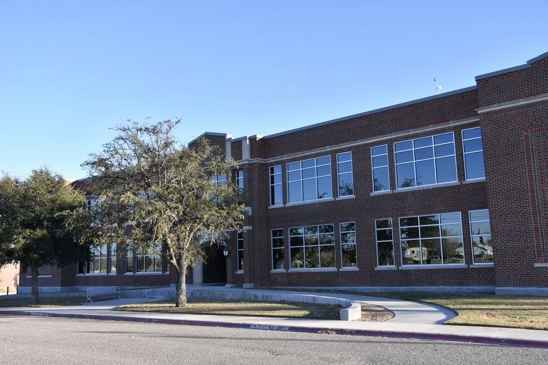
McCamey Junior High School image. Click for full size.
cmh2315fl via Flickr (CC BY-NC 2.0), December 20, 2021
4. McCamey Junior High School
 
 
Credits. This page was last revised on July 3, 2022. It was originally submitted on March 28, 2022, by Duane and Tracy Marsteller of Murfreesboro, Tennessee. This page has been viewed 98 times since then and 17 times this year. Photos:   1. submitted on March 28, 2022, by Duane and Tracy Marsteller of Murfreesboro, Tennessee.   2, 3. submitted on July 3, 2022, by James Hulse of Medina, Texas.   4. submitted on March 28, 2022, by Duane and Tracy Marsteller of Murfreesboro, Tennessee.
Share this page.  
Share on Tumblr
m=194512

CeraNet Cloud Computing sponsors the Historical Marker Database.
This website earns income from purchases you make after using our links to Amazon.com. We appreciate your support.
Paid Advertisement
Apr. 26, 2024