Near Mount Vernon in Fairfax County, Virginia — The American South (Mid-Atlantic)
Forest
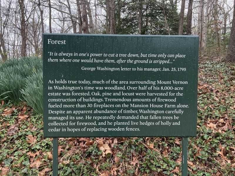
Photographed by Connor Olson, March 22, 2022
1. Forest Marker
George Washington letter to his manager, Jan. 25, 1795
As holds true today, much of the area surrounding Mount Vernon in Washington's time was woodland. Over half of his 8,000-acre estate was forested. Oak, pine and locust were harvested for the construction of buildings. Tremendous amounts of firewood fueled more than 30 fireplaces on the Mansion House Farm alone. Despite an apparent abundance of timber, Washington caraged its use. He repeatedly demanded that fallen trees be collected for firewood, and he planted live hedges of holly and cedar in hopes of replacing wooden fences.
Topics. This historical marker is listed in this topic list: Horticulture & Forestry. A significant historical date for this entry is January 25, 1795.
Location. 38° 42.429′ N, 77° 5.36′ W. Marker is near Mount Vernon, Virginia, in Fairfax County. It can be reached from the intersection of Mount Vernon Memorial Highway (Virginia Route 235) and George Washington Memorial Parkway, on the right when traveling east. Touch for map.
this page online

Regionally, this marker is in the Washington Metropolitan Area and in Northern Virginia. It is also in the American South, specifically in the Upper South, in the Mid-Atlantic, and on the Eastern Seaboard. Globally, it is in the North Atlantic Region, North America, the Western Hemisphere, the Western World, and the Anglosphere. Historically, it finds itself in what was once the territory of the Mississippian Culture, one of the original Thirteen Colonies, one of the Confederate States of America, and the Antebellum South.
Other nearby markers. At least 8 other markers are within walking distance of this marker: Fruit Garden and Nursery (within shouting distance of this marker); Slavery at Mount Vernon (within shouting distance of this marker); Seed Beds (within shouting distance of this marker); African-American Burial Ground (within shouting distance of this marker); Archaeology of the African-American Burial Ground (about 300 feet away, measured in a direct line); Nursery Beds
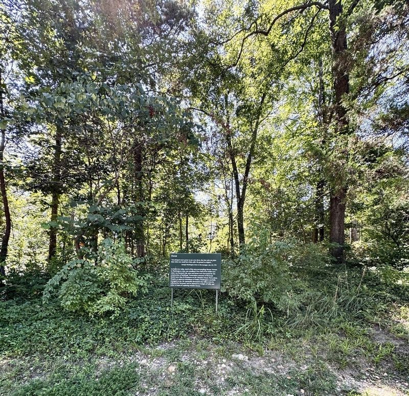
Photographed by Brandon D Cross, August 9, 2025
2. Forest Marker
Also see . . . George Washington's Mount Vernon. Mount Vernon Ladies’ Association (Submitted on March 30, 2022.)
Credits. This page was last revised on August 20, 2025. It was originally submitted on March 28, 2022, by Connor Olson of Menomonee Falls, Wisconsin. This page has been viewed 211 times since then and 14 times this year. Photos: 1. submitted on March 28, 2022, by Connor Olson of Menomonee Falls, Wisconsin. 2. submitted on August 19, 2025, by Brandon D Cross of Flagler Beach, Florida. • Bernard Fisher was the editor who published this page.
Editor’s want-list for this marker. Wide shot of marker and its surroundings. • Can you help?
