Morrisonville in Clinton County, New York — The American Northeast (Mid-Atlantic)
The War of 1812
Photographed by Steve Stoessel, March 28, 2022
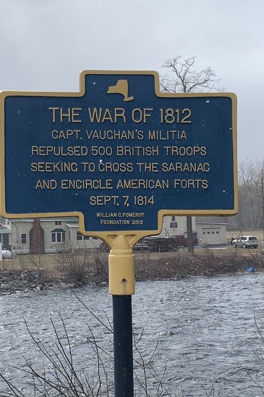
1. The War of 1812 Marker
Capt. Vaughan's militia repulsed 500 British troops seeking to cross the Saranac and encircle American forts Sept. 7, 1814
Erected 2013 by William G. Pomeroy Foundation.
Topics. This historical marker is listed in this topic list: War of 1812. A significant historical date for this entry is September 7, 1814.
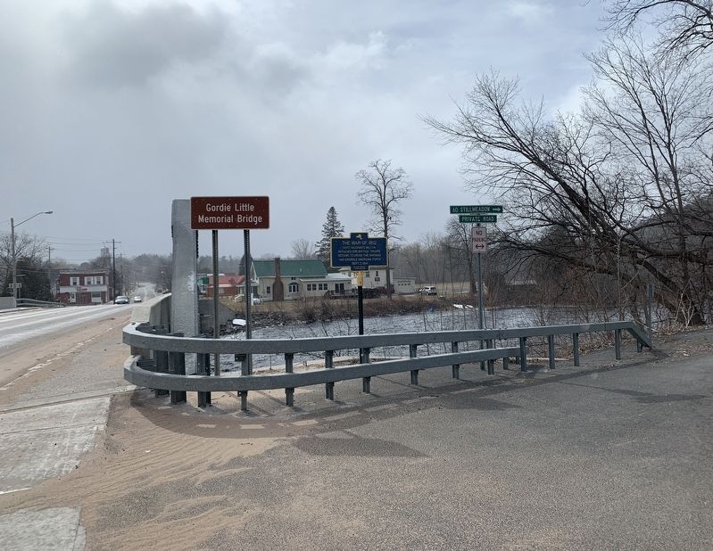
Location. 44° 41.758′ N, 73° 33.617′ W. Marker is in Morrisonville, New York, in Clinton County. It is at the intersection of New York State Route 22B and Stillmeadow Lane, on the right when traveling west on New York State Route 22B. Touch for map. Marker is in this post office area: Morrisonville NY 12962, United States of America. Touch for directions.

Regionally, this marker is in Upstate New York, in the Adirondacks & North Country, and in the Champlain Valley. It is also in the American Northeast and in the Mid-Atlantic. Globally, it is in North America, the Great North Woods, the Western Hemisphere, the Western World, and the Anglosphere. Historically, it finds itself in what was once the Viceroyalty of New France, New Netherland, and one of the original Thirteen Colonies.
Other nearby markers. At least 8 other markers are within 3 miles of this marker, measured as the crow flies: A different marker also named War of 1812 (within shouting distance of this marker); Morrisonville Community Church (about 700 feet away, measured in a direct line); Early Industrial Area (approx. 0.3 miles away); Three NYSEG Sites (approx. 0.4 miles away); Beckwith Graveyard (approx. 1½ miles away); Old Military Turnpike (approx. 2.1 miles away); Soper Cemetery (approx. 2.8 miles away); Site of Church First Clinton County High School (approx. 3 miles away). Touch for a list and map of all markers in Morrisonville.
this page online
Photographed by Steve Stoessel, March 28, 2022
2. The War of 1812 Marker

Photographed by Steve Stoessel, March 28, 2022
3. The War of 1812 Marker
Credits. This page was last revised on April 2, 2022. It was originally submitted on March 29, 2022, by Steve Stoessel of Niskayuna, New York. This page has been viewed 361 times since then and 32 times this year. Photos: 1, 2, 3. submitted on March 29, 2022, by Steve Stoessel of Niskayuna, New York. • Michael Herrick was the editor who published this page.
