Jonestown in Baltimore, Maryland — The American Northeast (Mid-Atlantic)
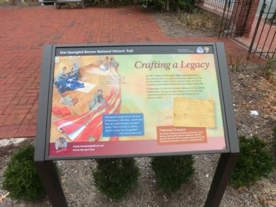
Crafting a Legacy
Star-Spangled Banner National Historic Trail
— National Park Service, U.S. Department of the Interior —
In 1813, Mary Pickersgill’s flag-making business was commissioned to sew a garrison flag and a smaller storm flag for Fort McHenry, Mary’s mother, daughter, nieces, and African American servants helped complete the task in about seven weeks.
On September 14, 1814, Fort McHenry withstood a 25-hour British bombardment. The garrison flag waving over the victorious fort inspired Francis Scot Key to pen lyrics that became the U.S. national anthem.
National Treasure
The family of George Armistead, commander at Fort McHenry during the Battle of Baltimore, held the garrison flag until 1912. A grandson donated it to the Smithsonian Institution, where it is displayed today.
“Through the clouds of war, the stars of that banner still shone…and in that hour of …joy triumph, my heart spoke…’Does not such a country…deserve a song’ was its question.”
Francis Scot Key, August 6, 1834.
[Captions:]
Too large for Mary’s house, the 30 x 42-foot garrison flag was finished on the floor of a nearby brewery. Her helpers included an African American indentured servant named Grace Wisher.
Receipt for two flags received on August 19, 1813. Image/Courtesy Star-Spangled Banner Flag House.
Erected by National Park Service, U.S. Department of the Interior.
Topics and series. This historical marker is listed in this topic list: War of 1812. In addition, it is included in the Star Spangled Banner National Historic Trail series list. A significant historical month for this entry is September 1849.
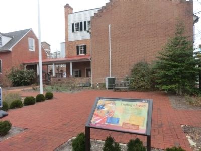
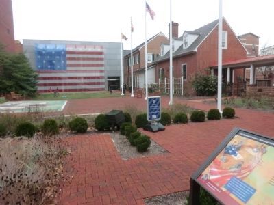
Location. 39° 17.242′ N, 76° 36.204′ W. Marker is in Baltimore, Maryland. It is in Jonestown. Marker is on East Pratt Street. The marker is located on the lawn of the Star-Spangled Banner House. Touch for map. Marker is at or near this postal address: 815 E Pratt St, Baltimore MD 21202, United States of America. Touch for directions.
Other nearby markers. At least 8 other markers are within walking distance of this marker. Welcome To The Star-Spangled Banner Flag House (a few steps from this marker); The Flag House and Star-Spangled Banner Museum (a few steps from this marker); The Star Spangled Banner (a few steps from this marker); Flag House (a few steps from this marker); Baltimore Slave Trade (a few steps from this marker); Discover Historic Jonestown: An Epic Story of Change (within shouting distance of this marker); Pente, Lancelotta and Nagle Family (about 300 feet away, measured in a direct line); Pente Family (about 300 feet away). Touch for a list and map of all markers in Baltimore.
Photographed By Don Morfe, December 18, 2014
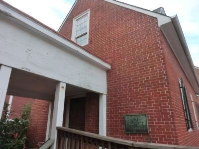
4. Flag House
(Inscription on the plaque) Flag House 1793-1957 Thomas D’Alesandro Jr., Mayor. In recognition of his efforts in the development of Flag House Park, the construction of a Flag House Museum and the restoration and rehabilitation of the original Flag House. 1950-1956.
Credits. This page was last revised on April 4, 2022. It was originally submitted on December 22, 2014, by Don Morfe of Baltimore, Maryland. This page has been viewed 1,005 times since then and 13 times this year. Last updated on March 29, 2022, by Connor Olson of Kewaskum, Wisconsin. Photos: 1, 2, 3, 4, 5. submitted on December 22, 2014, by Don Morfe of Baltimore, Maryland. • J. Makali Bruton was the editor who published this page.
