Orwell in Addison County, Vermont — The American Northeast (New England)
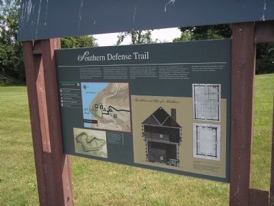
Southern Defense Trail
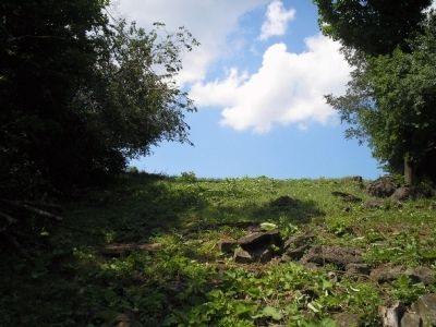
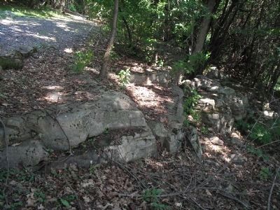
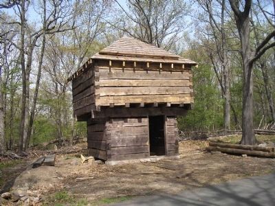
The theme of the walkway, southern defenses, represents British rather than American concerns here at Mount Independence. Although a dock for supply ships was located a short distance east of the present M/V Carillon dock, and the Hubbardton military road ran approximately where the modern road is today, the Americans paid little attention to defending this part of the Mount. They expected a British attack from the north. Following the American retreat during the night of July 5-6, 1777, the British hastily constructed blockhouses and artillery positions that would defend against an expected American counter attack from the east and south.
The attack came on September 18, 1777. Americans commanded by Colonels John Brown and Thomas Johnson attempted to recapture Mount Independence. But the British garrison was prepared. Blockhouses had been completed and artillery batteries had been set up. Cannon fire from British warships on the lake below and from the Mount was kept up day and night, creating a kind of no man’s land on the neck to the east, causing the Americans to withdraw.
Erected by Mount Independence Road.
Topics. This historical marker is listed in this topic list: War, US Revolutionary. A significant historical year for this entry is 1777.
Location. 43° 49.057′ N, 73° 23.109′ W. Marker is in Orwell, Vermont, in Addison County. Marker is on Mount Independence Road, on the left when traveling south. Marker is located near the parking lot in Mount Independence State Historic Site. Touch for map. Marker is in this post office area: Orwell VT 05760, United States of America. Touch for directions.
Other nearby markers. At least 8 other markers are within walking distance of this marker. Mount Independence (approx. 0.2 miles away); Lake Champlain and the American Revolution (approx. 0.4 miles away); German Hut – 1777 (approx. 0.4 miles away); The American Southern Defenses – 1776-1777 (approx. 0.4 miles away); British Blockhouse - 1777 (approx. 0.4 miles away); Southern Battery – 1777 (approx. 0.4 miles away); Foundation -1776 or 1777 (approx. half a mile away); Storehouse - 1776 (approx. half a mile away). Touch for a list and map of all markers in Orwell.
More about this marker. The left of the map contains a map of the Southern Defense Trail. Below this is a 1777 map of Mount Independence indicating the location of the trail. The bottom right
of the marker contains a section and plan of a blockhouse. It has a caption of “Section and plan showing a blockhouse similar in design to the structures built to protect Mount Independence from an American counterattack.”
Related markers. Click here for a list of markers that are related to this marker. This series of markers are found on the walking trails in Mount Independence State Historic Site.
Credits. This page was last revised on November 3, 2020. It was originally submitted on June 1, 2009, by Bill Coughlin of Woodland Park, New Jersey. This page has been viewed 1,172 times since then and 10 times this year. Photos: 1, 2, 3, 4, 5. submitted on June 1, 2009, by Bill Coughlin of Woodland Park, New Jersey.


