Cotulla in La Salle County, Texas — The American South (West South Central)
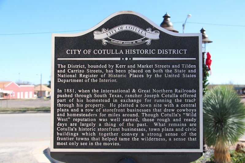
City of Cotulla Historic District
The District, bounded by Kerr and Market Streets and Tilden and Carrizo Streets, has been placed on both the State and National Register of Historic Places by the United States Department of the Interior.
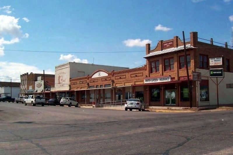
In 1881, when the International & Great Northern Railroads pushed through South Texas, rancher Joseph Cotulla offered part of his homestead in exchange for running the track through his property. He platted a town site with a central plaza and a row of storefront businesses that drew cowboys and homesteaders for miles around. Though Cotulla's “Wild West” reputation was well earned, those rough and ready days are largely a thing of the past. What remains are Cotulla's historic storefront businesses, town plaza and civic buildings which together convey a strong sense of the frontier towns that helped tame the wilderness, a sense that most only see in the movies.
Erected by City of Cotulla.
Topics. This historical marker is listed in these topic lists: Railroads & Streetcars • Settlements & Settlers. A significant historical year for this entry is 1881.
Location. 28° 26.169′ N, 99° 14.042′ W. Marker is in Cotulla, Texas, in La Salle County. Marker is at the intersection of North Front Street and Center Street, on the left when traveling north on North Front Street. Touch for map. Marker is at or near this postal address: 101 N Front St, Cotulla TX 78014, United States of America. Touch for directions.
Other nearby markers. At least 8 other markers are within walking distance of this marker. The Old San Antonio Road (about 300 feet away, measured in a direct line); Kings Highway (about 300 feet away); Polish Immigrant Joseph Cotulla (about 400 feet away); La Salle County's First Artesian Well (about 400 feet away); La Salle County Veterans (about 500 feet away); Cotulla City Park (about 500 feet away); First Presbyterian Church of Cotulla (about 700 feet away); La Salle County (about 700 feet away). Touch for a list and map of all markers in Cotulla.

via NPS, unknown
2. Cotulla Downtown Historic District
National Register of Historic Places Registration Form
Click for more information.
Click for more information.
Credits. This page was last revised on April 15, 2022. It was originally submitted on April 14, 2022, by Duane and Tracy Marsteller of Murfreesboro, Tennessee. This page has been viewed 136 times since then and 20 times this year. Photos: 1. submitted on April 14, 2022, by Duane and Tracy Marsteller of Murfreesboro, Tennessee. 2. submitted on April 15, 2022, by Larry Gertner of New York, New York. 3. submitted on April 14, 2022, by Duane and Tracy Marsteller of Murfreesboro, Tennessee.

