Fort Mason in San Francisco City and County, California — The American West (Pacific Coastal)
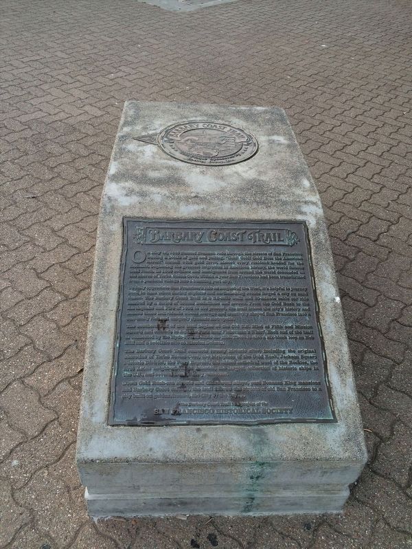
Barbary Coast Trail
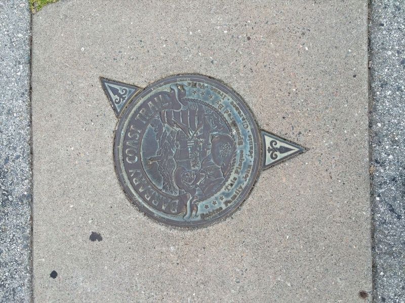
To fully appreciate San Francisco’s role as magnet of the West, it’s helpful to journey back in time when daring exploits and earthshaking events forged a city on sand dunes. The Barbary Coast Trail is a 3.8 mile walk and 20 minute cable car ride marked by a series of bronze medallions and arrows. From the Gold Rush to the Earthquake and Fire of 1906 to the present, the trail traces the city’s history and honors those individuals whose courage and creativity shaped San Francisco into a culturally rich and uniquely dynamic metropolis.
The southern end of the trail begins at the Old U.S. Mint at Fifth and Mission Streets and extends to Aquatic Park near Fisherman’s Wharf. Each end of the trail is connected by they Hyde-Powell cable car line. There is also a six-block loop on Nob Hill and a satellite site at Mission Dolores.
The Barbary Coast Trail connects twenty historic sites, including the original shoreline of Yerba Buena Cove, the birthplace of the Gold Rush, Jackson Square Historic District, the Pony Express, the oldest cathedral west of the Rockies, the first Asian neighborhood in America, the largest collection of historic ships in the U.S., and several local museums.
Down Gold Rush-era streets and Chinatown alleys, past Bonanza King mansions and Barbary Coast saloons, the trail follows the streets of old San Francisco to a city built on golden dreams, the City by the Bay...
The Barbary Coast Trail is a project of the
San Francisco Historical Society
Erected by San Francisco Historical Society.
Topics. This historical marker is listed in these topic lists: Industry & Commerce • Settlements & Settlers. A significant historical date for this entry is May 12, 1848.
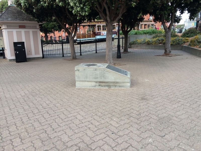
Location. 37° 48.408′ N, 122° 25.265′ W. Marker is in San Francisco, California, in San Francisco City and County. It is in Fort Mason. Marker is on Beach Street near Hyde Street. Marker is located at Aquatic Park. Touch for map. Marker is in this post office area: San Francisco CA 94109, United States of America. Touch for directions.
Other nearby markers. At least 8 other markers are within walking distance of this marker. Friedel Klussman (within shouting distance of this marker); America’s First Irish Coffee (within shouting distance of this marker); The Buena Vista Cafe (within shouting distance of this marker); The South End Rowing Club (about 300 feet away, measured in a direct line); The Dolphin Swimming and Boating Club (about 300 feet away); Propellers from Klamath (about 300 feet away); Del Monte Square (about 400 feet away); Steam Donkey Engine (about 400 feet away). Touch for a list and map of all markers in San Francisco.
Credits. This page was last revised on February 7, 2023. It was originally submitted on April 16, 2022, by Adam Margolis of Mission Viejo, California. This page has been viewed 203 times since then and 30 times this year. Photos: 1, 2, 3. submitted on April 16, 2022, by Adam Margolis of Mission Viejo, California. • Syd Whittle was the editor who published this page.
Editor’s want-list for this marker. A readable photo of the marker. • Can you help?


