Lexington in Middlesex County, Massachusetts — The American Northeast (New England)
Rev. Carleton A. Staples
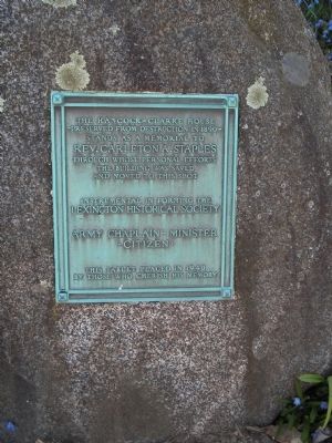
- Preserved from destruction in 1890 -
stands as a memorial to
Rev. Carleton A. Staples
through whose personal efforts
the building was saved
and moved to this spot
Instrumental in forming the
Lexington Historical Society
Army Chaplin • Minister
• Citizen •
This tablet placed in 1940
by those who cherish his memory
Erected 1940.
Topics. This historical marker is listed in this topic list: Notable Buildings. A significant historical year for this entry is 1890.
Location. 42° 27.209′ N, 71° 13.701′ W. Marker is in Lexington, Massachusetts, in Middlesex County. Marker is on Hancock Street, on the left when traveling north. Touch for map. Marker is at or near this postal address: 36 Hancock St, Lexington MA 02420, United States of America. Touch for directions.
Other nearby markers. At least 8 other markers are within walking distance of this marker. Hancock - Clarke House (a few steps from this marker); First Teachers' College (approx. ¼ mile away); House of Jonathan Harrington (approx. ¼ mile away); The Battle Green (approx. ¼ mile away); Buckman Tavern (approx. ¼ mile away); Memorial to the Lexington Minute Men (approx. 0.3 miles away); Cambridge Farms (approx. 0.3 miles away); Lexington Ship Memorial (approx. 0.3 miles away). Touch for a list and map of all markers in Lexington.

Photographed By Bill Coughlin, April 15, 2009
3. The Hancock – Clarke House
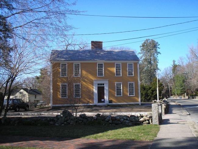
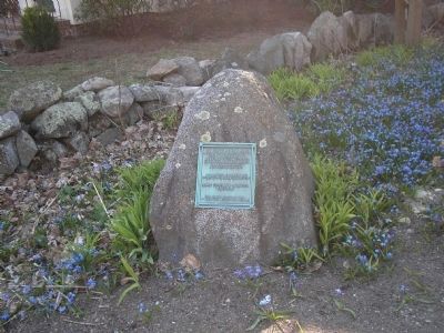
The marker can be seen here in front of the Hancock – Clarke House, along the stone wall in the foreground. John Hancock and Samuel Adams were in this house on the night of April 18, 1775, when Paul Revere came to warn of the approaching British troops.
Credits. This page was last revised on October 18, 2020. It was originally submitted on June 2, 2009, by Bill Coughlin of Woodland Park, New Jersey. This page has been viewed 811 times since then and 13 times this year. Photos: 1, 2, 3. submitted on June 2, 2009, by Bill Coughlin of Woodland Park, New Jersey.

