Near Fayetteville in Lincoln County, Tennessee — The American South (East South Central)
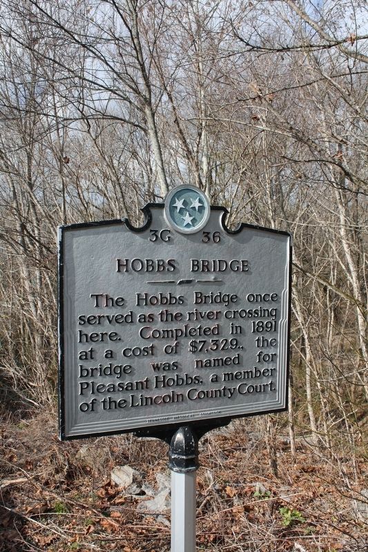
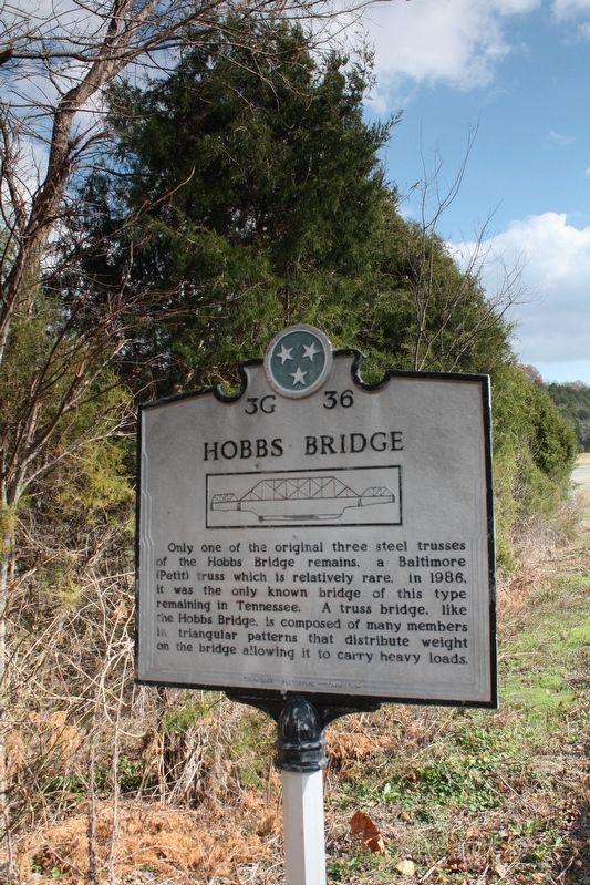
Hobbs Bridge
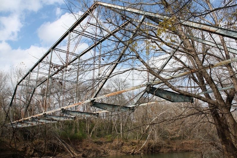
Only one of the original three steel trusses of the Hobbs Bridge remains, a Baltimore (Petit) truss which is relatively rare. In 1986, it was the only known bridge of this type remaining in Tennessee. A truss bridge, like the Hobbs Bridge, is composed of many members in triangular patterns that distribute weight on the bridge allowing it to carry heavy loads.
Erected by Tennessee Historical Commission. (Marker Number 3G 36.)
Topics. This historical marker is listed in this topic list: Bridges & Viaducts. A significant historical year for this entry is 1891.
Location. Marker is missing. It was located near 35° 5.96′ N, 86° 44.603′ W. Marker was near Fayetteville, Tennessee, in Lincoln County. Marker was on J D Suggs Road near Curtis Road, on the right when traveling west. Touch for map. Marker was in this post office area: Fayetteville TN 37334, United States of America. Touch for directions.
Other nearby markers. At least 8 other markers are within 10 miles of this location, measured as the crow flies. The Lincoln County Poor Farm (approx. 4.2 miles away); Poor Farm Cemetery (approx. 4.2 miles away); Alfred Bearden (approx. 6.7 miles away); Tennessee AMVETS Veterans Memorial (approx. 8.8 miles away); Civil War in Tennessee (approx. 8.8 miles away); First Section of Tennessee Interstate (approx. 8.8 miles away); Elkton Bridge (approx. 8.9 miles away); Pioneer (Routt - Wells) Cemetery (approx. 10.1 miles away).
Credits. This page was last revised on April 17, 2022. It was originally submitted on April 17, 2022, by Duane and Tracy Marsteller of Murfreesboro, Tennessee. This page has been viewed 203 times since then and 25 times this year. Photos: 1, 2, 3. submitted on April 17, 2022, by Duane and Tracy Marsteller of Murfreesboro, Tennessee.


