Los Gatos in Santa Clara County, California — The American West (Pacific Coastal)
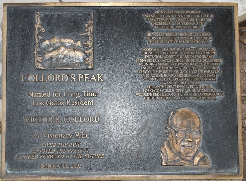
Collord's Peak
Named for long time Los Gatos resident
— Victor R. Collord —
Lived the past
Enjoyed the present
Looked forward to the future
Vic established his home, "Paradise Found" on Nicholson Hill in 1946 after surviving Pearl Harbor (December 7, 1941) aboard the Battleship USS California.
He volunteered the next 57 years of his life to the Town of Los Gatos through active participation as:
Assistant leader, Boy Scout Troop 539; Founder, Los Gatos Community Garden; Initiator, Adopt-a-Garden Program; Sponsor, Los Gatos High School scholarships; Founding Member, Town's trail committee and active participant for over 20 years; Founding Member, Los Gatos Youth Park, Inc. and active board member for 25 years; volunteer for Los Gatos Lions, Rotary, Kiwanis Club events; philanthropist involved with the Los Gatos Community Foundation, Inc., Wildlife Federation, The Nature Conservancy, and Mid-peninsula Open Space District.
Erected 2003.
Topics. This historical marker is listed in this topic list: Patriots & Patriotism.
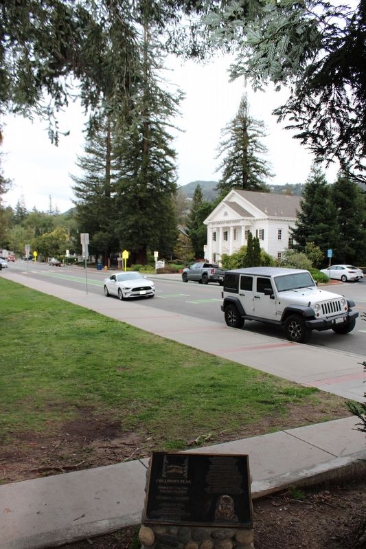
Location. 37° 13.275′ N, 121° 58.622′ W. Marker is in Los Gatos, California, in Santa Clara County. Marker is at the intersection of East Main Street and High School Court, on the right on East Main Street. The plaque is on a rock foundation between Redwood Trees at the intersection. Touch for map. Touch for directions.
Other nearby markers. At least 8 other markers are within 2 miles of this marker, measured as the crow flies. Historic Fire Bell (about 600 feet away, measured in a direct line); The Flame of Liberty Memorial (about 700 feet away); 911 Memorial (about 800 feet away); Forbes Flour Mill (approx. 0.2 miles away); "The Cats" (approx. 0.8 miles away); Schmitt-Nickson Homestead (approx. 1.1 miles away); Lexington Dam (approx. 1˝ miles away); The Teddy Roosevelt Tree (approx. 1.7 miles away). Touch for a list and map of all markers in Los Gatos.
Credits. This page was last revised on May 14, 2022. It was originally submitted on April 20, 2022, by Joseph Alvarado of Livermore, California. This page has been viewed 123 times since then and 23 times this year. Photos: 1, 2. submitted on April 20, 2022, by Joseph Alvarado of Livermore, California. • Syd Whittle was the editor who published this page.
Editor’s want-list for this marker. A photo of the peak. • Can you help?

