Ironville in Essex County, New York — The American Northeast (Mid-Atlantic)
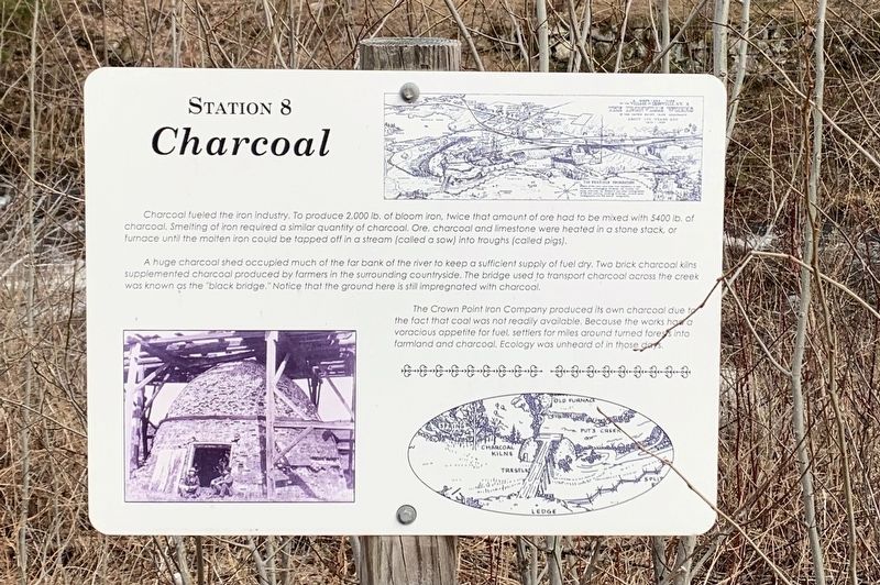
Charcoal
Station 8
Charcoal fueled the iron industry. To produce 2,000 lb. of bloom iron, twice that amount of ore had to be mixed with 5400 lb. of charcoal. Smelting of iron required a similar quantity of charcoal. Ore, charcoal and limestone were heated in a stone stack, or furnace until the molten iron could be tapped off in a stream (called a sow) into troughs (called pigs).
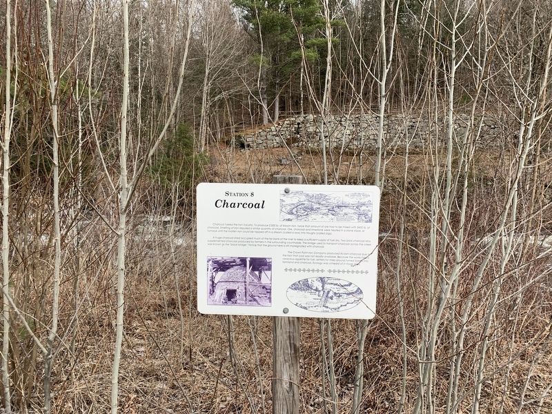
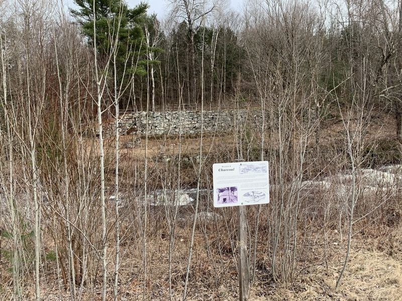
A huge charcoal shed occupied much of the far bank of the river to keep a sufficient supply of fuel dry. Two brick charcoal kilns supplemented charcoal produced by farmers in the surrounding countryside. The bridge used to transport charcoal across the creek was known as the "black bridge.” Notice that the ground here is still impregnated with charcoal.
The Crown Point Iron Company produced its own charcoal due to the fact that coal was not readily available. Because the works had a voracious appetite for fuel, settlers for miles around turned forests into farmland and charcoal. Ecology was unheard of in those days.
(Marker Number 8.)
Topics. This historical marker is listed in this topic list: Industry & Commerce.
Location. 43° 55.281′ N, 73° 32.079′ W. Marker is in Ironville, New York, in Essex County. Marker can be reached from the intersection of Creek Road (County Route 2) and Whitehead Road, on the left when traveling west. Touch for map. Marker is in this post office area: Crown Point NY 12928, United States of America. Touch for directions.
Other nearby markers. At least 8 other markers are within walking distance of this marker. The Forge (a few steps from this marker); 1873 Expansion (within shouting distance of this marker); Dressed Ore (within shouting distance of this marker); Scale House (within shouting distance of this marker); Mills (about 300 feet away, measured in a direct line); On The Train (about 400 feet away); Penfield Pond (about 400 feet away); Irondale (about 500 feet away). Touch for a list and map of all markers in Ironville.
Also see . . . Ironville Historic District - National Archives. National Register of Historic Places documentation (Submitted on February 6, 2024, by Anton Schwarzmueller of Wilson, New York.)
Credits. This page was last revised on February 6, 2024. It was originally submitted on April 21, 2022, by Steve Stoessel of Niskayuna, New York. This page has been viewed 65 times since then and 11 times this year. Photos: 1, 2, 3. submitted on April 21, 2022, by Steve Stoessel of Niskayuna, New York. • Michael Herrick was the editor who published this page.


