
Gravois Park in St. Louis, Missouri — The American Midwest (Upper Plains)
2846-2850 Cherokee Street
The Montague Building
Photographed by Jason Voigt, April 21, 2022
1. 2846-2850 Cherokee Street Marker
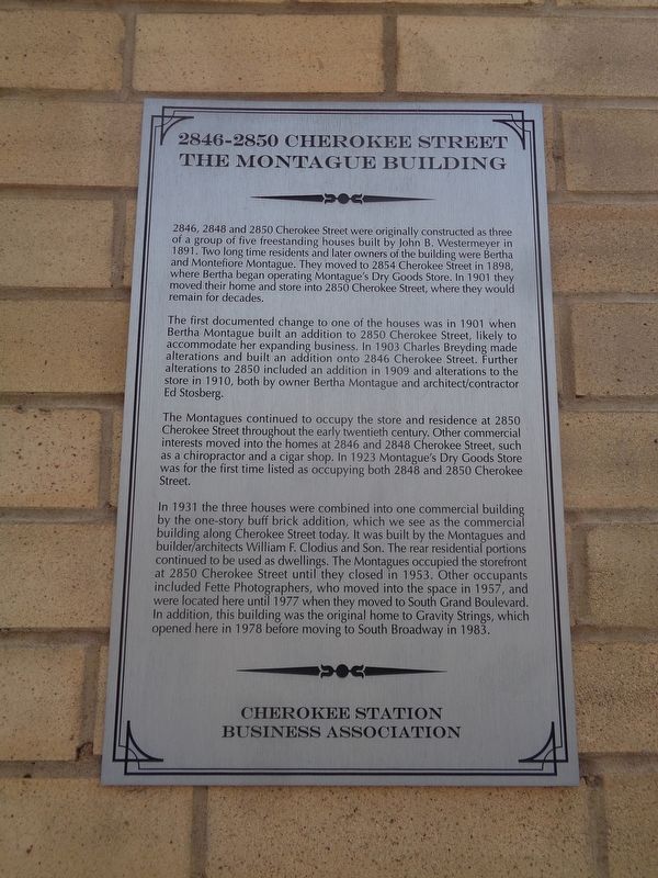
The first documented change to one of the houses was in 1901 when Bertha Montague built an addition to 2850 Cherokee Street, likely to accommodate her expanding business. In 1903 Charles Breyding made alterations and built an addition onto 2846 Cherokee Street. Further alterations to 2850 included an addition in 1909 and alterations to the store in 1910, both by owner Bertha Montague and architect/contractor Ed Stosberg.
The Montagues continued to occupy the store and residence at 2850 Cherokee Street throughout the early twentieth century. Other commercial interests moved into the homes at 2846 and 2848 Cherokee Street, such as a chiropractor and a cigar shop. In 1923 Montague's
this page online
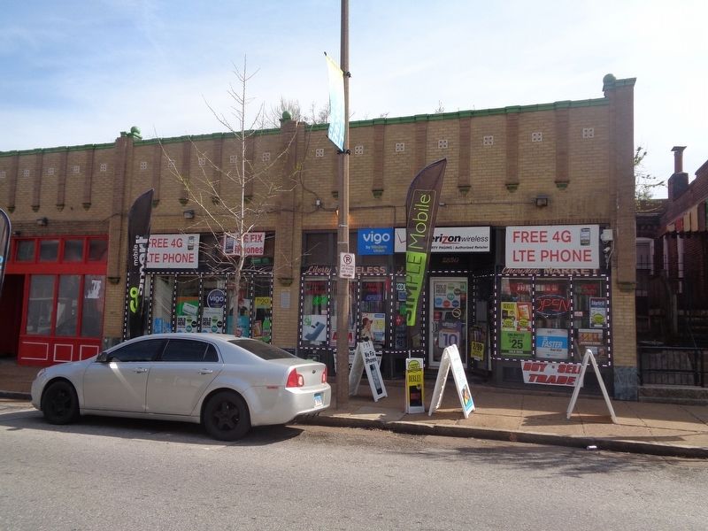
In 1931 the three houses were combined into one commercial building by the one-story buff brick addition, which we see as the commercial building along Cherokee Street today. It was built by the Montagues and builder/architects William F. Clodius and Son. The rear residential portions continued to be used as dwellings. The Montagues occupied the storefront at 2850 Cherokee Street until they closed in 1953. Other occupants included Fette Photographers, who moved into the space in 1957, and were located here until 1977 when they moved to South Grand Boulevard. In addition, this building was the original home to Gravity Strings, which opened here in 1978 before moving to South Broadway in 1983.
Erected by Cherokee Station Business Association.
Topics and series. This historical marker is listed in this topic list: Industry & Commerce. In addition, it is included in the Missouri, St. Louis, Cherokee Station Business Association series list.
Location. 38° 35.642′ N, 90° 13.919′ W. Marker
Photographed by Jason Voigt, April 21, 2022
2. 2846-2850 Cherokee Street Marker
Marker is mounted on the building.

Regionally, this marker is in the American Midwest, in the Lewis & Clark Corridor, in the Corn Belt, and in the Great River Road Region. Globally, it is in North America, the Western Hemisphere, the Western World, and the Anglosphere. Historically, it finds itself in what was once the territory of the Mississippian Culture, the Louisiana Purchase, and the Antebellum South.
Other nearby markers. At least 8 other markers are within walking distance of this marker: 2838 Cherokee Street (within shouting distance of this marker); 2831-2835 Cherokee Street (within shouting distance of this marker); 2822-2824 Cherokee (about 300 feet away, measured in a direct line); 2818-2820 Cherokee Street (about 300 feet away); 2817 Cherokee Street (about 400 feet away); 3409 California Avenue (about 500 feet away); Calle Cherokee (about 600 feet away); 2731 Cherokee Street (about 700 feet away). Touch for a list and map of all markers in St. Louis.
Credits. This page was last revised on January 30, 2023. It was originally submitted on April 22, 2022, by Jason Voigt of Glen Carbon, Illinois. This page has been viewed 315 times since then and 36 times this year. Photos: 1, 2. submitted on April 22, 2022, by Jason Voigt of Glen Carbon, Illinois.
