San Patricio in San Patricio County, Texas — The American South (West South Central)
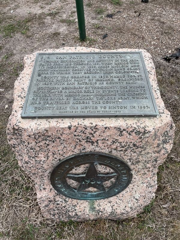
San Patricio County
County was created in 1836; named for St. Patrick, Patron Saint of Ireland. Organized in 1837, with San Patricio as county seat.
Southern boundary of the county, the Nueces River, played a major role in events leading to the war with Mexico (1846-48), including the crossing of the river by Zachary Taylor's army, which had travelled across the county.
County seat was moved to Sinton in 1893.
Erected 1936 by the State of Texas. (Marker Number 4549.)
Topics and series. This historical marker is listed in this topic list: Political Subdivisions. In addition, it is included in the Texas 1936 Centennial Markers and Monuments series list. A significant historical year for this entry is 1836.
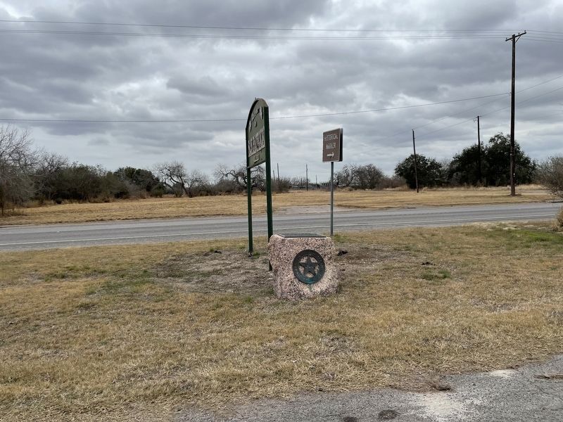
Location. 27° 57.108′ N, 97° 46.37′ W. Marker is in San Patricio, Texas, in San Patricio County. Marker is at the intersection of Main Street (Farm to Market Road 666) and McGloin Street (Road 1740), on the left when traveling north on Main Street. Touch for map. Marker is in this post office area: Mathis TX 78368, United States of America. Touch for directions.
Other nearby markers. At least 8 other markers are within one mile of this marker, measured as the crow flies. San Patricio de Hibernia (a few steps from this marker); Josepha Rodriguez (a few steps from this marker); Battle of San Patricio (a few steps from this marker); Saint Patrick's Catholic Church (approx. ¼ mile away); Education in San Patricio (approx. ¼ mile away); Old Dougherty House (approx. ¼ mile away); Old Cemetery on the Hill (approx. 0.8 miles away); Santa Margarita Crossing (approx. 1.1 miles away). Touch for a list and map of all markers in San Patricio.
More about this marker. The original 1936 text plate accompanying this marker was replaced with a new text plate in 1973.
Also see . . . San Patricio County - The Handbook of Texas Online. Texas State Historical Association (TSHA) (Submitted on April 22, 2022, by Brian Anderson of Humble, Texas.)
Credits. This page was last revised on April 22, 2022. It was originally submitted on April 22, 2022, by Brian Anderson of Humble, Texas. This page has been viewed 149 times since then and 24 times this year. Photos: 1, 2. submitted on April 22, 2022, by Brian Anderson of Humble, Texas.

