Cambridge in Waterloo Region, Ontario — Central Canada (North America)
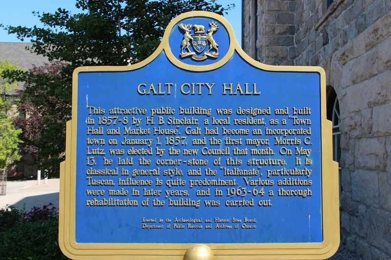
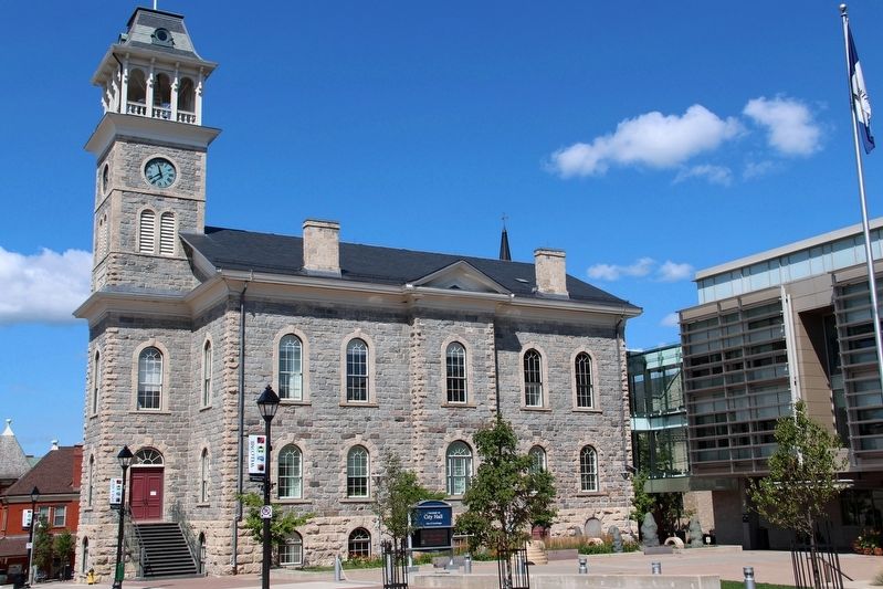
Galt City Hall
Erected by Archaeological and Historic Sites Board of Ontario • Department of Public Records and Archives of Ontario.
Topics and series. This historical marker is listed in this topic list: Notable Buildings. In addition, it is included in the Canada, Ontario Heritage Foundation series list. A significant historical year for this entry is 1858.
Location. 43° 21.596′ N, 80° 18.773′ W. Marker is in Cambridge, Ontario, in Waterloo Region. Marker is at the intersection of Dickson Street and Petty Place, on the right when traveling west on Dickson Street. Touch for map. Marker is at or near this postal address: 46 Dickson St, Cambridge ON N1R 1T7, Canada. Touch for directions.
Other nearby markers. At least 8 other markers are within 11 kilometers of this marker, measured as the crow flies. Former Galt Post Office/ L’Ancien Bureau de Poste de Galt (approx. 0.3 kilometers away); The Honourable James Young 1835-1913 (approx. 0.3 kilometers away); Main Street Bridge (approx. 0.3 kilometers away); Grand River/‘O:se Kenhionháta:tie/La Rivière Grand (approx. 0.4 kilometers away); Women's Royal Canadian Naval Service Monument (approx. 0.4 kilometers away); Black Bridge Road Bridge (approx. 10.2 kilometers away); The Huron Road (approx. 11.1 kilometers away); Waterloo Historical Society (approx. 11.1 kilometers away). Touch for a list and map of all markers in Cambridge.

cmh2315fl via Flickr (CC BY-NC 2.0), August 13, 2017
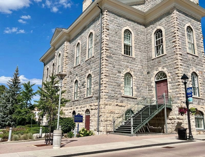
2. Galt City Hall Marker
Marker is partially visible in the lower left corner.
Credits. This page was last revised on September 2, 2023. It was originally submitted on April 23, 2022, by Duane and Tracy Marsteller of Murfreesboro, Tennessee. This page has been viewed 129 times since then and 26 times this year. Photos: 1, 2. submitted on April 23, 2022, by Duane and Tracy Marsteller of Murfreesboro, Tennessee. 3. submitted on August 29, 2023, by Tim Boyd of Hamilton, Ontario. 4. submitted on April 23, 2022, by Duane and Tracy Marsteller of Murfreesboro, Tennessee.


