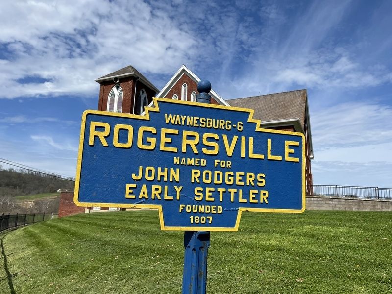
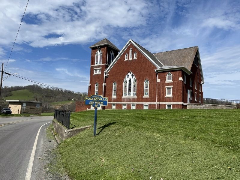
Center Township near Rogersville in Greene County, Pennsylvania — The American Northeast (Mid-Atlantic)
Rogersville
Topics and series. This historical marker is listed in this topic list: Settlements & Settlers. In addition, it is included in the Pennsylvania Keystone Markers series list. A significant historical year for this entry is 1807.
Location. 39° 52.814′ N, 80° 16.501′ W. Marker is near Rogersville, Pennsylvania, in Greene County. It is in Center Township. Marker is on West Roy Furman Highway (Pennsylvania Route 18) just north of Cherry Alley, on the right when traveling north. Touch for map. Marker is at or near this postal address: 3226 W Roy Furman Hwy, Rogersville PA 15359, United States of America. Touch for directions.
Other nearby markers. At least 8 other markers are within 5 miles of this marker, measured as the crow flies. 1945 Center Twp. Honor Roll (about 400 feet away, measured in a direct line); West Park (approx. 4.7 miles away); Waynesburg College (approx. 4.7 miles away); Ritchie Park (approx. 4.8 miles away); a different marker also named Waynesburg College (approx. 4.8 miles away); In Memoriam (approx. 4.8 miles away); Company K, 110th U.S. Infantry (10th PA) World War Memorial (approx. 4.8 miles away); Greene County Civil War Memorial (approx. 4.8 miles away).
Additional commentary.
1. About Rogersville
Rogersville is not an incorporated community. The Commonwealth of Pennsylvania is completely divided into municipalities. As such, the community of Rogersville is part of Center Township, even though there is a post office with the Rogersville name.
— Submitted April 25, 2022, by Devry Becker Jones of Washington, District of Columbia.
Credits. This page was last revised on May 24, 2023. It was originally submitted on April 25, 2022, by Devry Becker Jones of Washington, District of Columbia. This page has been viewed 172 times since then and 29 times this year. Photos: 1, 2. submitted on April 25, 2022, by Devry Becker Jones of Washington, District of Columbia.

