Bowling Green in Warren County, Kentucky — The American South (East South Central)
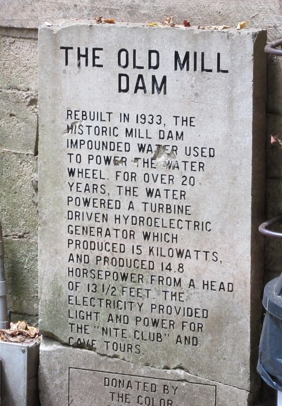
The Old Mill Dam
Erected by the Color Connection.
Topics. This historical marker is listed in this topic list: Industry & Commerce. A significant historical year for this entry is 1933.
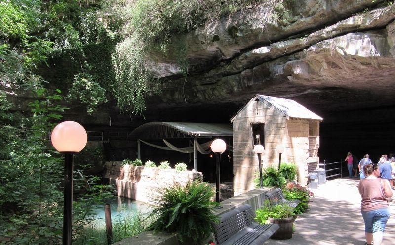
Location. 36° 57.238′ N, 86° 28.408′ W. Marker is in Bowling Green, Kentucky, in Warren County. Marker can be reached from Nashville Road (U.S. 31W) 0.1 miles north of Dishman Lane, on the right when traveling north. Located inside the Lost River Cave attractions. Must enter attractions and take walking trail up to the entrance to underground river. Touch for map. Marker is at or near this postal address: 2818 Nashville Rd, Bowling Green KY 42101, United States of America. Touch for directions.
Other nearby markers. At least 8 other markers are within walking distance of this marker. Tourist Court (within shouting distance of this marker); Morgan's Command Organized (within shouting distance of this marker); Lost River Cave and Valley (within shouting distance of this marker); Lost River Cave & Valley (about 600 feet away, measured in a direct line); Protecting A Natural Treasure (about 600 feet away); Underground Nite Club (about 600 feet away); Civil War Camps (about 600 feet away); Lost River Blue Holes, Trees, Wild Flowers And Quarrying Ruins (about 800 feet away). Touch for a list and map of all markers in Bowling Green.
Also see . . . Wikipedia article on the Lost River Cave. Includes information on the Mill and the "Cavern Nite Club." (Submitted on April 26, 2022.)
Credits. This page was last revised on April 26, 2022. It was originally submitted on April 26, 2022, by Jason Armstrong of Talihina, Oklahoma. This page has been viewed 250 times since then and 32 times this year. Photos: 1, 2. submitted on April 26, 2022, by Jason Armstrong of Talihina, Oklahoma. • Mark Hilton was the editor who published this page.
Editor’s want-list for this marker. A wide shot of the marker in relation to its surroundings. • Can you help?

