
Roswell in Chaves County, New Mexico — The American Mountains (Southwest)
Lea Hall
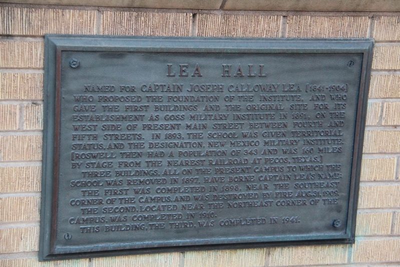
Named for Captain Joseph Calloway Lea (1841-1904) who proposed the foundation of the Institute, and who gave the first buildings and the original site for its establishment as Goss Military Institute in 1891, on the west side of present Main Street between Fourth and Fifth Streets. In 1893, the school was given territorial status, and the designation, New Mexico Military Institute. (Roswell then had a population of 343 and was 160 miles by stage from the nearest railroad at Pecos, Texas.)
Three buildings, all on the present campus to which the school was removed in 1897, have borne Captain Lea's name:
The first was completed in 1898, near the southeast corner of the campus, and was destroyed by fire Aug. 31, 1909.
The second, located near the northeast corner of the campus, was completed in 1910.
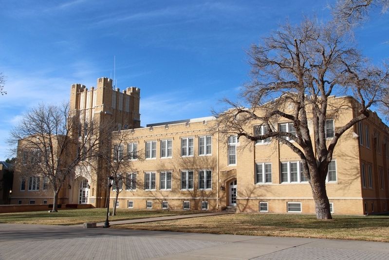
This building, the third, was completed in 1941.
Erected by New Mexico Military Institute.
Topics. This historical marker is listed in these topic lists: Education • Military • Notable Buildings. A significant historical year for this entry is 1891.
Location. 33° 24.61′ N, 104° 31.49′ W. Marker is in Roswell, New
this page online

Regionally, this marker is in New Mexico’s Pecos Valley. It is also in the American Southwest and on the Southern Plains. Globally, it is in North America, the Western Hemisphere, the Western World, and the Anglosphere. Historically, it finds itself in what was once New Spain, the Comanchería, and the Republic of Texas.
Other nearby markers. At least 8 other markers are within walking distance of this marker: Hagerman Barracks (about 300 feet away, measured in a direct line); Willson Hall (about 300 feet away); Pearson Auditorium (approx. 0.2 miles away); Dr. Robert Hutchings Goddard (approx. 0.4 miles away); De Bremond Athletic Field (approx. 0.4 miles away); The Iron Cross (approx. half a mile away); N.M. 200th Coast Artillery AA Regt. (approx. 0.9 miles away); Roswell and the New Deal
Also see . . . Captain Joseph C. Lea, the Father of Roswell. Day/Padgitt Ranch website entry:
Before coming to the Pecos Valley, the Tennessee-born Lea crossed paths with Billy the Kid, Pat Garrett and Frank and Jesse James, among others. (James T. Padgitt, West Texas Historical Association Year Book, October 1959) (Submitted on April 28, 2022, by Duane and Tracy Marsteller of Murfreesboro, Tennessee.)
Credits. This page was last revised on September 19, 2022. It was originally submitted on April 28, 2022, by Duane and Tracy Marsteller of Murfreesboro, Tennessee. This page has been viewed 490 times since then and 34 times this year. Photos: 1, 2. submitted on April 28, 2022, by Duane and Tracy Marsteller of Murfreesboro, Tennessee.
