Lethbridge in Lethbridge County, Alberta — Canada’s Prairie Region (North America)
The Construction of the Lethbridge Viaduct / La construction du Viaduc de Lethbridge

cmh2315fl via Flickr (CC BY-NC 2.0), May 31, 2015
1. The Construction of the Lethbridge Viaduct / La construction du Viaduc de Lethbridge Marker
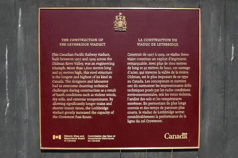
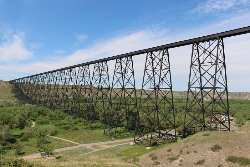
[English] This Canadian Pacific Railway viaduct, built between 1907 and 1909 across the Oldman River Valley, was an engineering triumph. More than 1,600 metres long and 95 metres high, this steel structure is the longest and highest of its kind in Canada. The designers and labourers had to overcome daunting technical challenges during construction as a result of harsh conditions such as violent winds, dry soils, and extreme temperatures. By allowing significantly longer trains and shorter transit times, the Lethbridge viaduct greatly increased the capacity of the Crowsnest Pass Route.
Erected by Historic Sites and Monuments Board of Canada/Commission des lieux et monuments historiques du Canada.
Topics and series. This historical marker is listed in these topic lists: Bridges & Viaducts • Railroads & Streetcars. In addition, it is included in the Canada, Historic Sites and Monuments Board series list. A significant historical year for this entry is 1909.
Location. 49° 41.845′ N, 112° 51.155′ W. Marker is in Lethbridge, Alberta, in Lethbridge County. Marker is on the Crowsnest Highway off-ramp to 1st Avenue South, 0.9 kilometers from Crowsnest Highway (Provincial Highway 3), on the right. Marker is on a pedestrian path alongside the off-ramp. Parking is available nearby. Touch for map. Marker is in this post office area: Lethbridge AB T1J T1J, Canada. Touch for directions.
Other nearby markers. At least 8 other markers are within 5 kilometers of this marker, measured as the crow flies. Lethbridge Viaduct (within shouting distance of this marker); Firehall No. 1 (approx. 0.8 kilometers away); First Air Crossing of the Canadian Rockies / Première traversée des Rocheuses en avion (approx. one kilometer away); Lethbridge Public Library / Southern Alberta Art Gallery (approx. one kilometer away); First Coal Mine in Alberta / La première houillère de L'Alberta
Also see . . .
1. Lethbridge Viaduct. Wikipedia entry on the viaduct, also known simply as High Level Bridge. (Submitted on May 1, 2022, by Duane and Tracy Marsteller of Murfreesboro, Tennessee.)
2. Lethbridge Viaduct. Canadian Society for Civil Engineering website entry (Submitted on April 29, 2024, by Larry Gertner of New York, New York.)
Credits. This page was last revised on April 29, 2024. It was originally submitted on May 1, 2022, by Duane and Tracy Marsteller of Murfreesboro, Tennessee. This page has been viewed 115 times since then and 24 times this year. Photos: 1, 2. submitted on May 1, 2022, by Duane and Tracy Marsteller of Murfreesboro, Tennessee.
Editor’s want-list for this marker. Wide shot of marker and surrounding area in context. • Can you help?
