Drumheller in Southern Alberta, Alberta — Canada’s Prairie Region (North America)
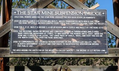
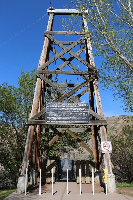
The Star Mine Suspension Bridge
1912 Coal miners working in the Star Mine crossed the Red Deer River in rowboats.
1919 An aerial cable car system was built, which transported both men & coal from the mine to tipple on this (south) side, The C.N.R. carried the coal from the valley.
1930 The C.P.R. built a bridge 1.6 km up river and a tipple was built at the mine site.
1931 The original swinging bridge was constructed and although winds and floods made crossing hazardous at times, it was used by the miners until 1957. When the mine was closed a year later, the large mass of shale, rock, and dirt you see on the north side slid over the mine workings.
1958 To commemorate the colorful mining history of the Drumheller Valley, the Alberta government rebuilt and continues to maintain the suspension bridge for public use.
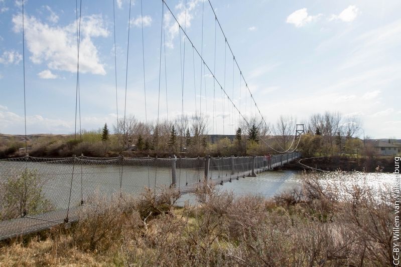
The area around the south end of the bridge is called “Aeriel”. The bridge is 117 meters long.
Topics. This historical marker is listed in these topic lists: Bridges & Viaducts • Industry & Commerce • Railroads & Streetcars. A significant historical year for this entry is 1931.
Location. 51° 25.174′ N, 112° 36.935′ W. Marker is in Drumheller, Alberta, in Southern Alberta. Marker is on Mabbott Road east of Starmine Drive, on the left when traveling east. Touch for map. Marker is at or near this postal address: 452 Mabbott Rd, Drumheller AB T0J 1X2, Canada. Touch for directions.
Other nearby markers. At least 1 other marker is within 14 kilometers of this marker, measured as the crow flies. Atlas No. 3 Coal Mine/La mine de charbon Atlas numéro trois (approx. 13.7 kilometers away).
Regarding The Star Mine Suspension Bridge. The bridge was closed to the public in 2020, initially because of the COVID pandemic but later for safety reasons.
Credits. This page was last revised on September 29, 2022. It was originally submitted on May 1, 2022, by Duane and Tracy Marsteller of Murfreesboro, Tennessee. This page has been viewed 168 times since then and 12 times this year. Photos: 1, 2, 3. submitted on May 1, 2022, by Duane and Tracy Marsteller of Murfreesboro, Tennessee.


