Wetaskiwin in Wetaskiwin County, Alberta — Canada’s Prairie Region (North America)
Wetaskiwin Water Tower
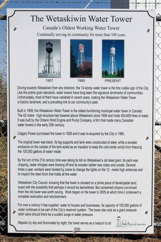
Canada's Oldest Working Water Tower
— Continually serving its community for more than 100 years —
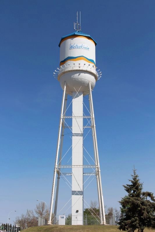
Built in 1909, the Wetaskiwin Water Tower is the oldest functioning municipal water tower in Canada. The 42 metre-high structure has towered above Wetaskiwin since 1909 and holds 454,609 litres of water. It was built by the Ontario Wind Engine and Pump Company, a firm that made many Canadian water towers in the early 20th century.
Calgary Power purchased the tower in 1928 and it was re-acquired by the City in 1980.
The original tower was black. Its leg supports and tank were constructed of steel, while a wooden enclosure on the outside of the tank acted as an insulator to keep the cold winter winds from freezing the 100,000 gallons of water inside.
By the turn of the 21st century time was taking its toll on Wetaskiwin's old steel giant. Its paint was chipping, cedar shingles were blowing off and its wooden ladder was rotten and unsafe. Several times a year, workers were hoisted by crane to change the lights on the 12-metre high antennas and to inspect the steel drum that holds all the water.
Wetaskiwin City Council, knowing that the tower is situated on a prime piece of developable land,toyed with the possibility that perhaps it should be demolished. But concerned citizens convinced them the old tower was worth saving. Work began on the tower in 2005 at which time it underwent a complete restoration and refurbishment.
For over a century it has supplied water to houses and businesses. Its capacity of 100,000 gallons of water continues to be part of the City's reservoir system. The tower also acts as a giant pressure relief valve should there be a sudden surge in water pressure.
Majestic by day and illuminated by night, the tower serves as a beacon to all.
Erected by City of Wetaskiwin.
Topics. This historical marker is listed in this topic list: Landmarks. A significant historical year for this entry is 1909.
Location. 52° 58.295′ N, 113° 23.393′ W. Marker is in Wetaskiwin, Alberta, in Wetaskiwin County. Marker is at the intersection of 56th Street (Provincial Highway 2A) and 50th Avenue, on the right when traveling north on 56th Street. Touch for map. Marker is at or near this postal address: 5003 56th St, Wetaskiwin AB T9A T9A, Canada. Touch for directions.
Other nearby markers. At least 5 other markers are within 18 kilometers of this marker, measured as the crow flies. Wetaskiwin Post Office

cmh2315fl via Flickr (CC BY-NC 2.0), May 23, 2015
2. Wetaskiwin Water Tower Marker
Marker is on the fence at the base of the tower.
Credits. This page was last revised on May 1, 2022. It was originally submitted on May 1, 2022, by Duane and Tracy Marsteller of Murfreesboro, Tennessee. This page has been viewed 769 times since then and 205 times this year. Photos: 1, 2. submitted on May 1, 2022, by Duane and Tracy Marsteller of Murfreesboro, Tennessee.
