Fort Meade in Anne Arundel County, Maryland — The American Northeast (Mid-Atlantic)
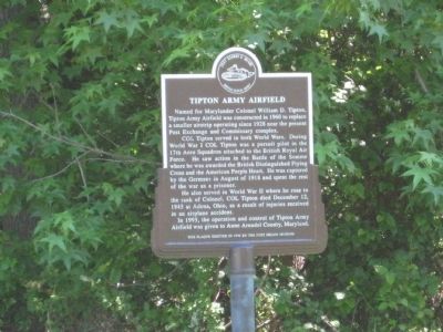
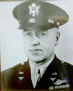
Tipton Army Airfield
Fort George G. Meade
— United States Army —
COL Tipton served in both World Wars. During World War I COL Tipton was a pursuit pilot in the 17th Aero Squadron attached to the British Royal Air Force. He saw action in the Battle of the Somme where he was awarded the British Distinguished Flying Cross and the American purple Heart. He was captured by the Germans in August of 1918 and spent the rest of the war as a prisoner.
He also served in World War II where he rose to the rank of Colonel. COL Tipton died December 12, 1945 at Adena, Ohio, as a result of injuries received in an airplane accident.
In 1995, the operation and control of Tipton Army Airfield was given to Anne Arundel County, Maryland.
This plaque erected in 1996 by the Fort Meade Museum.
Erected 1996 by Fort Meade Museum.
Topics and series. This historical marker is listed in these topic lists: Air & Space • Forts and Castles • War, World I • War, World II. In addition, it is included in the Valor in Aerial Operations series list. A significant historical month for this entry is December 1697.
Location. 39° 5.586′ N, 76° 45.364′ W. Marker is in Fort Meade, Maryland, in Anne Arundel County. Marker is at the intersection of O'Brien Road and Simmonds Street, on the right when traveling south on O'Brien Road. Touch for map. Marker is in this post office area: Fort George G Meade MD 20755, United States of America. Touch for directions.
Other nearby markers. At least 8 other markers are within walking distance of this marker. Chapultepec Avenue (approx. 0.3 miles away); "Cav. Area" (approx. 0.3 miles away); Cavalry Area (approx. 0.3 miles away); Dedicated to all American Ex-Prisoners of War (approx. ¾ mile away); The Battle of the Bulge (approx. 0.8 miles away); 29th Infantry Division, United States Army (approx. 0.8 miles away); Maj. Gen. Ralph H. Van Deman (approx. 0.9 miles away); Hodges Hall (approx. one mile away). Touch for a list and map of all markers in Fort Meade.
Photographed By F. Robby, June 7, 2008
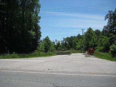
2. Tipton Army Airfield Marker
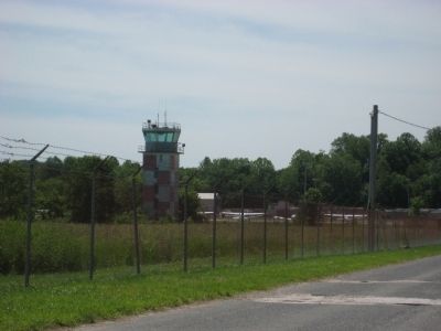
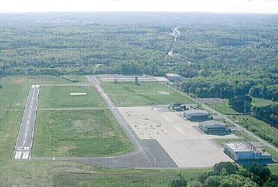
Marker is on the left side of what was the road leading to Tipton Airfield. This road was closed when Fort Meade became a closed base, and the bridge over Maryland Route 32 became an exit off that highway for a controlled entrance to Fort Meade. A new airfield road was constructed on the opposite side of the highway.
Credits. This page was last revised on November 21, 2019. It was originally submitted on June 5, 2009, by F. Robby of Baltimore, Maryland. This page has been viewed 1,868 times since then and 37 times this year. Photos: 1, 2, 3, 4, 5, 6. submitted on June 5, 2009, by F. Robby of Baltimore, Maryland.
