San Gabriel in Los Angeles County, California — The American West (Pacific Coastal)
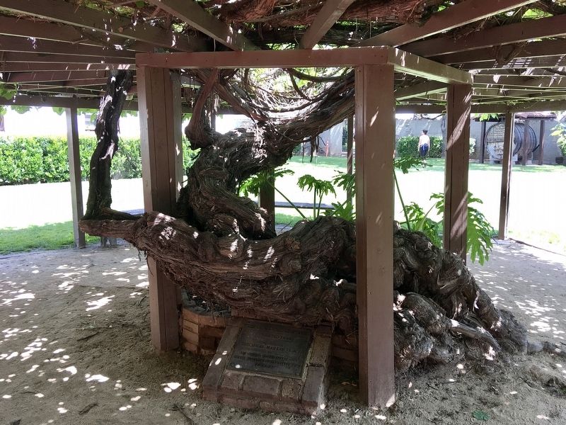
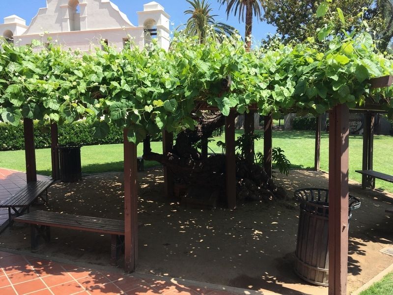
Grapevine Arbor
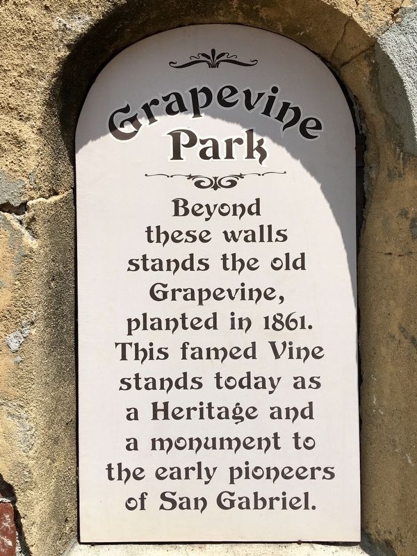
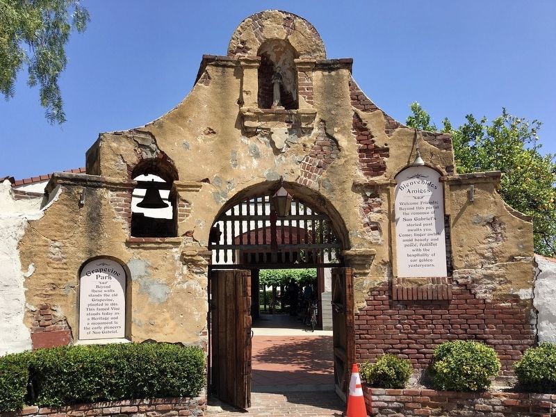
Grapevine Park
Beyond these walls stands the old Grapevine, planted in 1861. This famed Vine stands today as a Heritage and a monument to the early pioneers of San Gabriel.
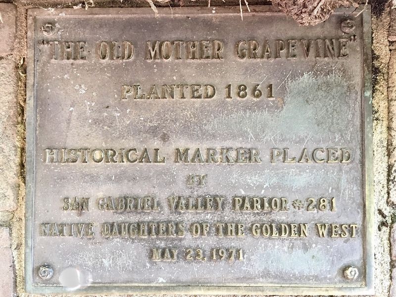
"The Old Mother Grapevine", planted 1861. Historical marker placed by San Gabriel Valley Parlor 281 Native Daughters of the Golden West, May 23, 1971.
Erected 1971 by Native Daughters of the Golden West.
Topics and series. This historical marker is listed in these topic lists: Churches & Religion • Horticulture & Forestry. In addition, it is included in the Native Sons/Daughters of the Golden West series list. A significant historical year for this entry is 1861.
Location. 34° 5.857′ N, 118° 6.504′ W. Marker is in San Gabriel, California, in Los Angeles County. Marker can be reached from the intersection of Mission Drive and Santa Anita Street. Touch for map. Marker is at or near this postal address: 324 S Mission Dr, San Gabriel CA 91776, United States of America. Touch for directions.
Other nearby markers. At least 8 other markers are within walking distance of this marker. La Casa Vieja de Lopez (within shouting distance of this marker); Ramona Museum of California History (within shouting distance of this marker); San Gabriel Veterans War Memorial (within shouting distance of this marker); The Mission Playhouse (within shouting distance of this marker); Early California (within shouting distance of this marker); Chapman’s Mill and Millrace (about 400 feet away, measured in a direct line); 1776 Overland Immigration Expedition (about 600 feet away); Joseph Chapman’s Millrace (about 600 feet away). Touch for a list and map of all markers in San Gabriel.
More about this marker. This small park is primarily used as an event venue and is often closed.
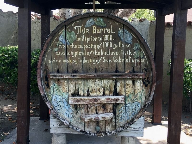
Regarding Grapevine Arbor. At nearby San Gabriel Mission, the oldest historic vine is known as the Mother Vine or Trinity Vine and is said to date to the 1770s. By the 1830s, the vineyards of San Gabriel Mission had expanded to more than 170 acres, producing as much as 50,000 gallons of wine per year. Cuttings from the original vines would eventually provide the foundation for Southern California’s powerhouse wine industry, the nation’s largest for most of the 19th century.
Credits. This page was last revised on January 30, 2023. It was originally submitted on May 3, 2022, by Craig Baker of Sylmar, California. This page has been viewed 575 times since then and 130 times this year. Photos: 1, 2, 3, 4, 5, 6. submitted on May 3, 2022, by Craig Baker of Sylmar, California.
