Shelton in Mason County, Washington — The American West (Northwest)
Goldsborough Creek Bridge
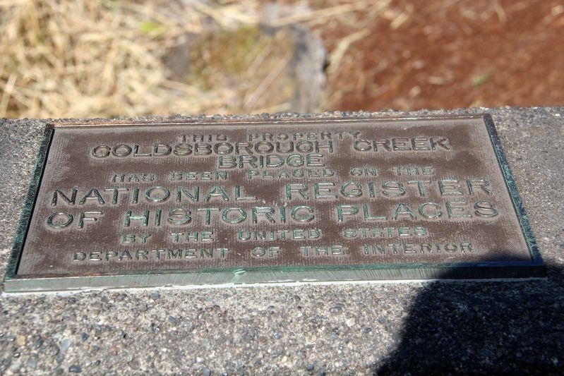
Goldsborough Creek
Bridge
has been placed on the
National Register
of Historic Places
by the United States
Department of the Interior
Topics. This historical marker is listed in this topic list: Bridges & Viaducts. A significant historical year for this entry is 1923.
Location. 47° 12.565′ N, 123° 6.051′ W. Marker is in Shelton, Washington, in Mason County. It is on South 1st Street south of Kneeland Street, on the right when traveling south. Touch for map. Marker is at or near this postal address: 421 S 1st St, Shelton WA 98584, United States of America. Touch for directions.

Regionally, this marker is in Washington’s Olympic Peninsula and in the Puget Sound Region. It is also on the American Pacific Coast, in the Pacific Northwest, and in the Lewis & Clark Corridor. Globally, it is in North America, on the Ring of Fire, in the Pacific Rim, in the Western Hemisphere, in the Western World, and in the Anglosphere.
Other nearby markers. At least 8 other markers are within 15 miles of this marker, measured as the crow flies: Simpson Logging Company (approx. ¼ mile away); Shelton Public Library and Town Hall
this page online
Regarding Goldsborough Creek Bridge. Excerpt from the National Register documentation:
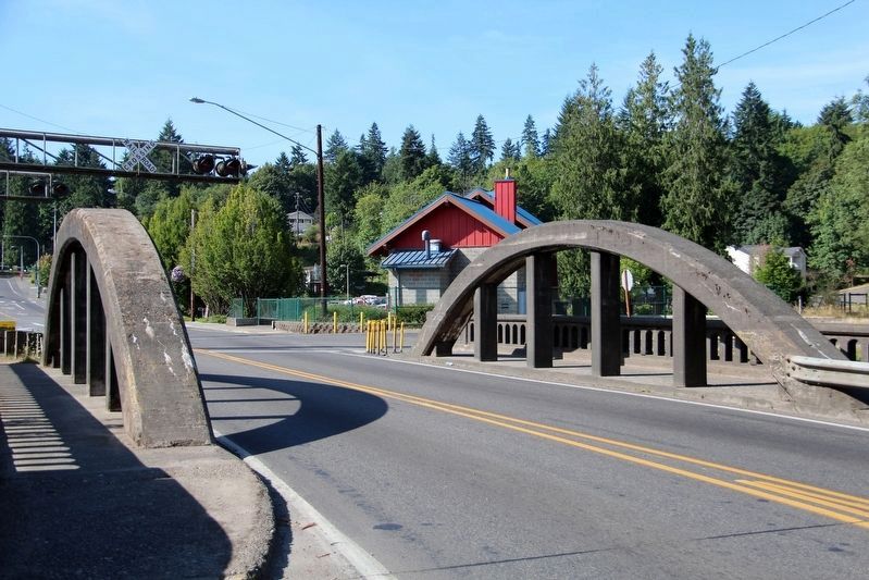
… The 57 foot bridge which consists of a 55 foot half through ribbed concrete arch, and rests on concrete abutments with timber pile bulkheads, was constructed by MacRae Brothers in 1923. It is 24 feet wide, curb to curb, and carries a sidewalk along the outside of each arch.
The Goldsborough Creek Bridge is one of five concrete tied arches within the State. It is the shortest of the five, and like the Indian Timothy Memorial Bridge in Garfield County, there are no horizontal struts above the roadway connecting the two arches. The Goldsborough Creek Bridge is one of five concrete tied arches within the State.Although there are examples of tied arches that were built throughout the 20's and 30's, this concrete arch form has remained rare.
Credits. This page was last revised on May 3, 2022. It was originally submitted on May 3, 2022, by Duane and Tracy Marsteller of Murfreesboro, Tennessee. This page has been viewed 395 times since then and 18 times this year. Photos: 1, 2. submitted on May 3, 2022, by Duane and Tracy Marsteller of Murfreesboro, Tennessee.
