Auburn in King County, Washington — The American West (Northwest)
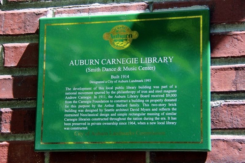
Auburn Carnegie Library
(Smith Dance & Music Center)
Designated a City of Auburn Landmark 1995
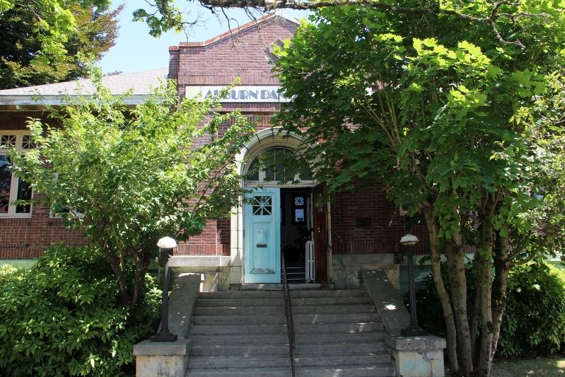
The development of this local public library building was part of a national movement spurred by the philanthropy of iron and steel magnate Andrew Carnegie. In 1911, the Auburn Library Board received $9,000 from the Carnegie Foundation to construct a building on property donated for this purpose by the Arthur Ballard family. This two-story brick building was designed by Seattle architect David Myers and reflects the restrained Neoclassical design and simple rectangular massing of similar Carnegie libraries constructed throughout the nation during the era. It has been preserved in private ownership since 1964, when a new local library was constructed.
Erected by City of Auburn Landmarks Commission.
Topics and series. This historical marker is listed in these topic lists: Architecture • Charity & Public Work • Education. In addition, it is included in the Carnegie Libraries series list. A significant historical year for this entry is 1914.
Location. 47° 18.606′ N, 122° 13.613′ W. Marker is in Auburn, Washington, in King County. Marker is at the intersection of Auburn Avenue and 3rd Street Northeast, on the right when traveling north on Auburn Avenue . Touch for map. Marker is at or near this postal address: 306 Auburn Ave, Auburn WA 98002, United States of America. Touch for directions.
Other nearby markers. At least 8 other markers are within 11 miles of this marker, measured as the crow flies. Crow with Fries (approx. 0.9 miles away); Salt Water State Park (approx. 6.4 miles away); The Saar Pioneer Cemetery (approx. 7.1 miles away); Old Oregon Trail (approx. 8.8 miles away); The Dash Point Dock (approx. 9.1 miles away); POW/MIA Memorial Plaza (approx. 10˝ miles away); The Freedom Shrine (approx. 10˝ miles away); Barney Clark Memorial Court (approx. 10.6 miles away).

cmh2315fl via Flickr (CC BY-NC 2.0), August 8, 2014
2. Auburn Carnegie Library Marker
Marker is left of the door.
Credits. This page was last revised on May 4, 2022. It was originally submitted on May 4, 2022, by Duane and Tracy Marsteller of Murfreesboro, Tennessee. This page has been viewed 203 times since then and 55 times this year. Photos: 1, 2. submitted on May 4, 2022, by Duane and Tracy Marsteller of Murfreesboro, Tennessee.
