Everett in Snohomish County, Washington — The American West (Northwest)
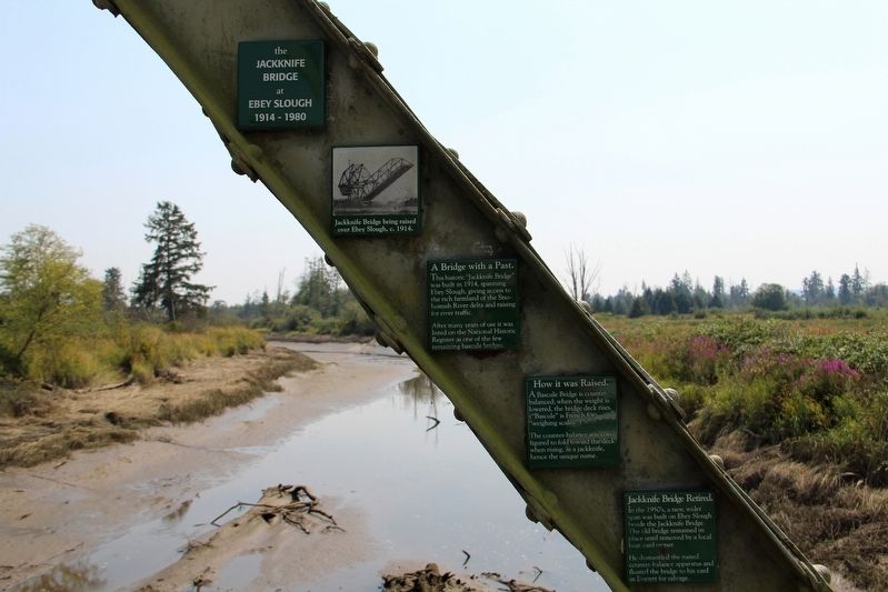
The Jackknife Bridge at Ebey Slough
1914 - 1980
A Bridge with a Past.
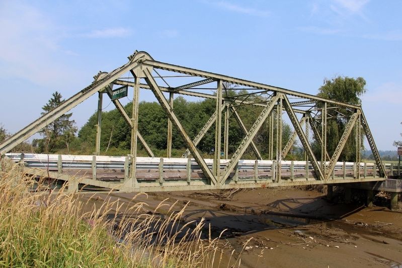
This historic “Jackknife Bridge” was built in 1914, spanning Ebey Slough, giving access to the rich farmland of the Snohomish River delta and raising for river traffic. After many years of use it was listed on the National Historic Register as one of the few remaining bascule bridges.
How it was Raised.
A Bascule Bridge is counter-balanced; when the weight is lowered, the bridge deck rises. (“Bascule” is French for “weighing scales”.) The counter-balance was configured to fold toward the deck when rising, as a jackknife, hence the unique name.
Jackknife Bridge Retired.
In the 1950's, a new, wider span was built on Ebey Slough beside the Jackknife Bridge. The old bridge remained in place until removed by a local boat yard owner. He dismantled the rusted counter-balance apparatus and floated the bridge to his yard in Everett for salvage.
Topics. This historical marker is listed in this topic list: Bridges & Viaducts. A significant historical year for this entry is 1914.
Location. 47° 59.58′ N, 122° 9.883′ W. Marker is in Everett, Washington, in Snohomish County. Marker can be reached from 4th Street Southeast, 0.7 miles east of Smith Island Road. Marker is attached to a bridge girder. The bridge is at the eastern terminus of 4th Street SE. Touch for map. Marker is in this post office area: Everett WA 98201, United States of America. Touch for directions.
Other nearby markers. At least 8 other markers are within 3 miles of this marker, measured as the crow flies. Fire Station No. 2 (approx. 2 miles away); Library Ladies (approx. 2.1 miles away); Architects & Architecture (approx. 2.1 miles away); First Presbyterian Church (approx. 2.2 miles away); Medal of Honor Memorial (approx. 2.2 miles away); Snohomish County Gold Star Memorial (approx. 2.2 miles away); 09.11.2001 (approx. 2.2 miles away); Everett War Memorial (approx. 2.2 miles away). Touch for a list and map of all markers in Everett.
Regarding The Jackknife Bridge at Ebey Slough. The bridge was added to the National Register in 1982 but removed in 1990. It was moved to its current location in 1993, and now functions as a stationary footbridge over Union Slough to Spencer Island Park.

cmh2315fl via Flickr (CC BY-NC 2.0), August 13, 2014
2. The Jackknife Bridge at Ebey Slough Marker detail
Credits. This page was last revised on May 4, 2022. It was originally submitted on May 4, 2022, by Duane and Tracy Marsteller of Murfreesboro, Tennessee. This page has been viewed 299 times since then and 43 times this year. Photos: 1, 2, 3. submitted on May 4, 2022, by Duane and Tracy Marsteller of Murfreesboro, Tennessee.

