San Anselmo in Marin County, California — The American West (Pacific Coastal)
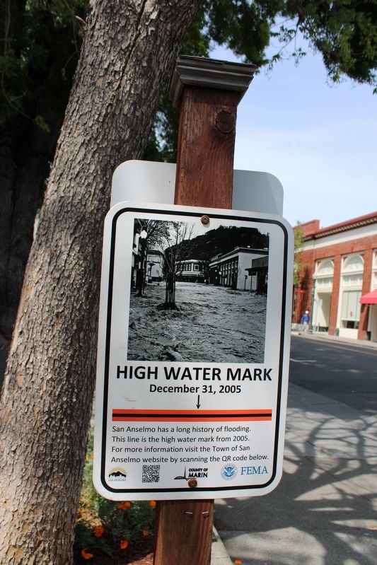
High Water Mark
December 31, 2005
Erected by Town of San Anselmo.
Topics. This historical marker is listed in this topic list: Disasters. A significant historical date for this entry is December 31, 2005.
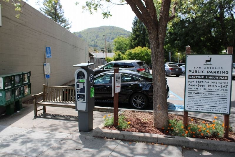
Location. 37° 58.415′ N, 122° 33.743′ W. Marker is in San Anselmo, California, in Marin County. Marker is on San Anselmo Avenue near Pine Street, on the right when traveling south. The metal sign is mounted to a wooden post at the entrance to a city parking lot. Touch for map. Marker is in this post office area: San Anselmo CA 94960, United States of America. Touch for directions.
Other nearby markers. At least 8 other markers are within walking distance of this marker. A different marker also named High Water Mark (here, next to this marker); a different marker also named High Water Mark (about 400 feet away, measured in a direct line); Paul Chirone (about 400 feet away); Indiana Jones (about 500 feet away); Star Wars (about 500 feet away); Magnolia Avenue Bridge (about 700 feet away); Creek Park Bridge (approx. 0.2 miles away); a different marker also named High Water Mark (approx. ¼ mile away). Touch for a list and map of all markers in San Anselmo.
More about this marker. This is one of many 'high water mark" signs posted throughout town. There is another marker on the opposite side of the post for the slightly higher, January 2, 1982 flood.
Also see . . .
1. Flood control discussed as San Anselmo unveils high water mark signs.
"...an unveiling of one of five signs that indicate the high water marks of San Anselmo’s more epic floods — such as in 2005, when nearly 5 feet of water flowed through downtown.(Submitted on May 6, 2022, by Joseph Alvarado of Livermore, California.)
2. HWM Project Summary: San Anselmo, CA.
"With their history of flooding, the Town of San Anselmo wanted to raise flood risk awareness and promote mitigation projects to help reduce flood water flow during peak storm events.(Submitted on May 6, 2022, by Joseph Alvarado of Livermore, California.)
Credits. This page was last revised on May 17, 2022. It was originally submitted on May 6, 2022, by Joseph Alvarado of Livermore, California. This page has been viewed 106 times since then and 27 times this year. Photos: 1, 2. submitted on May 6, 2022, by Joseph Alvarado of Livermore, California. • Syd Whittle was the editor who published this page.

